Distance to Collins Chapel, Alabama

Calculating Your Route
Just a moment while we process your request...
Location Information
-
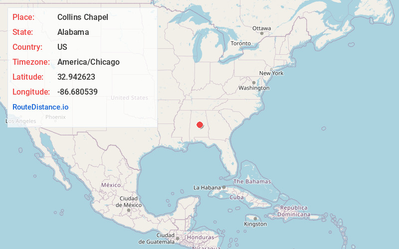
Full AddressCollins Chapel, AL 35045
-
Coordinates32.9426233, -86.6805393
-
LocationAlabama , US
-
TimezoneAmerica/Chicago
-
Current Local Time9:20:47 PM America/ChicagoThursday, June 19, 2025
-
Page Views0
Nearby Places
Found 10 places within 50 miles

Chilton County
1.1 mi
1.8 km
Chilton County, AL
Get directions

Mineral Springs
2.1 mi
3.4 km
Mineral Springs, AL 35046
Get directions
Thorsby
2.8 mi
4.5 km
Thorsby, AL
Get directions

Rocky Mt
4.0 mi
6.4 km
Rocky Mt, AL 35085
Get directions

Jemison
4.0 mi
6.4 km
Jemison, AL 35085
Get directions
Lomax
4.5 mi
7.2 km
Lomax, Clanton, AL 35045
Get directions
Jumbo
5.5 mi
8.9 km
Jumbo, AL 35046
Get directions
Center Hill
5.7 mi
9.2 km
Center Hill, AL 35085
Get directions
Kalona
5.8 mi
9.3 km
Kalona, AL 35085
Get directions

Clanton
7.8 mi
12.6 km
Clanton, AL
Get directions
Location Links
Local Weather
Weather Information
Coming soon!
Location Map
Static map view of Collins Chapel, Alabama
Browse Places by Distance
Places within specific distances from Collins Chapel
Short Distances
Long Distances
Click any distance to see all places within that range from Collins Chapel. Distances shown in miles (1 mile ≈ 1.61 kilometers).