Distance to Collins Place, Wyoming

Calculating Your Route
Just a moment while we process your request...
Location Information
-
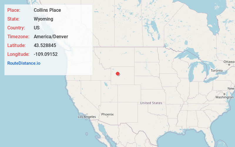
Full AddressCollins Place, WY 82523
-
Coordinates43.5288448, -109.0915195
-
LocationCollins Place , Wyoming , US
-
TimezoneAmerica/Denver
-
Current Local Time6:59:08 AM America/DenverThursday, June 19, 2025
-
Page Views0
Nearby Places
Found 10 places within 50 miles

Crowheart
16.0 mi
25.7 km
Crowheart, WY 82512
Get directions

Dubois
27.0 mi
43.5 km
Dubois, WY
Get directions

Morton
27.7 mi
44.6 km
Morton, WY 82516
Get directions

Pavillion
28.1 mi
45.2 km
Pavillion, WY 82523
Get directions
Owl Creek
31.5 mi
50.7 km
Owl Creek, WY 82443
Get directions
Kinnear
33.3 mi
53.6 km
Kinnear, WY 82501
Get directions
Johnstown
34.5 mi
55.5 km
Johnstown, WY
Get directions

Grass Creek
36.0 mi
57.9 km
Grass Creek, WY 82443
Get directions

Wind River Range
36.9 mi
59.4 km
Wind River Range, Wyoming 82513
Get directions

Fort Washakie
37.6 mi
60.5 km
Fort Washakie, WY
Get directions
Location Links
Local Weather
Weather Information
Coming soon!
Location Map
Static map view of Collins Place, Wyoming
Browse Places by Distance
Places within specific distances from Collins Place
Short Distances
Long Distances
Click any distance to see all places within that range from Collins Place. Distances shown in miles (1 mile ≈ 1.61 kilometers).