Distance to Kinnear, Wyoming

Calculating Your Route
Just a moment while we process your request...
Location Information
-
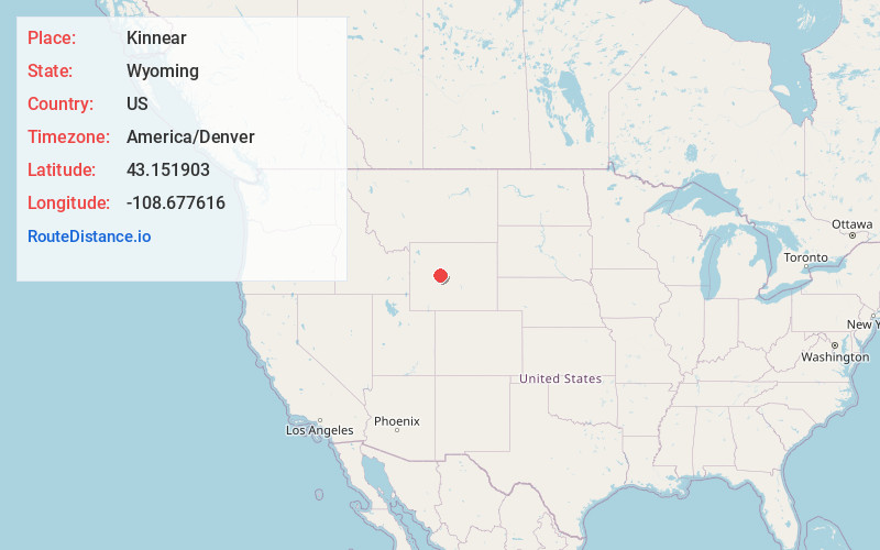
Full AddressKinnear, WY 82501
-
Coordinates43.1519028, -108.6776164
-
LocationKinnear , Wyoming , US
-
TimezoneAmerica/Denver
-
Current Local Time7:02:15 PM America/DenverSaturday, June 7, 2025
-
Page Views0
About Kinnear
Kinnear is an unincorporated community in central Fremont County, Wyoming, United States. It lies along U.S. Route 26 near its intersection with Wyoming Highway 133, northwest of the city of Riverton and north of the city of Lander, the county seat of Fremont County. Its elevation is 5,400 feet.
Nearby Places
Found 10 places within 50 miles

Johnstown
2.6 mi
4.2 km
Johnstown, WY
Get directions
Morton
5.9 mi
9.5 km
Morton, WY 82516
Get directions

Pavillion
6.4 mi
10.3 km
Pavillion, WY 82523
Get directions

Ethete
10.0 mi
16.1 km
Ethete, WY
Get directions
Midvale
12.5 mi
20.1 km
Midvale, WY 82501
Get directions

Fort Washakie
14.4 mi
23.2 km
Fort Washakie, WY
Get directions

Arapahoe
16.2 mi
26.1 km
Arapahoe, WY
Get directions

Riverton
17.4 mi
28.0 km
Riverton, WY 82501
Get directions
Boulder Flats
17.6 mi
28.3 km
Boulder Flats, WY 82520
Get directions
Hudson
17.6 mi
28.3 km
Hudson, WY
Get directions
Location Links
Local Weather
Weather Information
Coming soon!
Location Map
Static map view of Kinnear, Wyoming
Browse Places by Distance
Places within specific distances from Kinnear
Short Distances
Long Distances
Click any distance to see all places within that range from Kinnear. Distances shown in miles (1 mile ≈ 1.61 kilometers).