Distance to Coloma, Montana

Calculating Your Route
Just a moment while we process your request...
Location Information
-
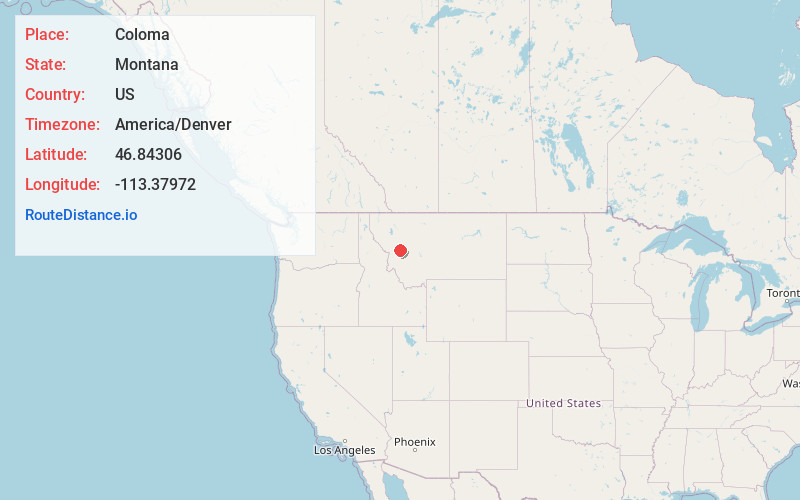
Full AddressColoma, MT 59823
-
Coordinates46.84306, -113.37972
-
LocationColoma , Montana , US
-
TimezoneAmerica/Denver
-
Current Local Time8:12:22 AM America/DenverWednesday, June 18, 2025
-
Page Views0
About Coloma
Coloma is a ghost town located in the area of the Garnet Range in Missoula County, Montana, United States. Little is known about the settlement, which appears to have been founded in 1893.


Nearby Places
Found 10 places within 50 miles

Garnet
2.3 mi
3.7 km
Garnet, MT 59832
Get directions

Yreka
2.6 mi
4.2 km
Yreka, MT 59823
Get directions
Beartown
3.9 mi
6.3 km
Beartown, MT 59832
Get directions
Greenough
5.8 mi
9.3 km
Greenough, MT 59823
Get directions

Bearmouth
9.6 mi
15.4 km
Bearmouth, MT 59832
Get directions
Potomac
9.8 mi
15.8 km
Potomac, MT 59823
Get directions
Byrne
10.2 mi
16.4 km
Byrne, MT 59825
Get directions

Clearwater
10.9 mi
17.5 km
Clearwater, MT 59823
Get directions

Drummond
16.4 mi
26.4 km
Drummond, MT 59832
Get directions
Twin Creeks
16.5 mi
26.6 km
Twin Creeks, MT 59823
Get directions
Location Links
Local Weather
Weather Information
Coming soon!
Location Map
Static map view of Coloma, Montana
Browse Places by Distance
Places within specific distances from Coloma
Short Distances
Long Distances
Click any distance to see all places within that range from Coloma. Distances shown in miles (1 mile ≈ 1.61 kilometers).