Distance to Garnet, Montana

Calculating Your Route
Just a moment while we process your request...
Location Information
-
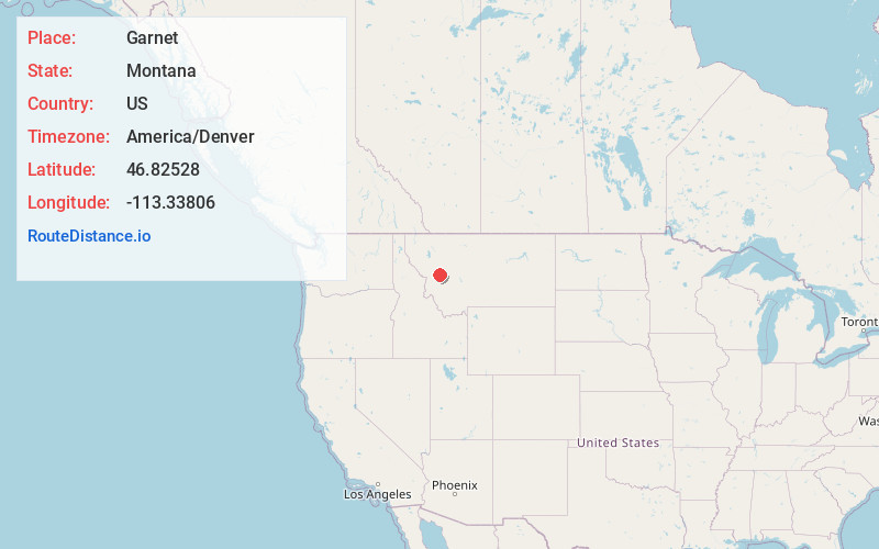
Full AddressGarnet, MT 59832
-
Coordinates46.82528, -113.33806
-
LocationGarnet , Montana , US
-
TimezoneAmerica/Denver
-
Current Local Time5:00:15 AM America/DenverSunday, May 25, 2025
-
Page Views0
About Garnet
Garnet is a ghost town in Granite County, Montana, United States. A thriving mining town in the 1890s, Garnet's population declined when local hard rock mines closed. The remaining buildings have been preserved and are open to visitors. The site is managed by the Bureau of Land Management.

Nearby Places
Found 10 places within 50 miles

Beartown
2.2 mi
3.5 km
Beartown, MT 59832
Get directions
Yreka
2.5 mi
4.0 km
Yreka, MT 59823
Get directions
Greenough
7.8 mi
12.6 km
Greenough, MT 59823
Get directions

Bearmouth
8.1 mi
13.0 km
Bearmouth, MT 59832
Get directions
Byrne
10.0 mi
16.1 km
Byrne, MT 59825
Get directions
Potomac
12.1 mi
19.5 km
Potomac, MT 59823
Get directions

Clearwater
12.2 mi
19.6 km
Clearwater, MT 59823
Get directions

Drummond
14.2 mi
22.9 km
Drummond, MT 59832
Get directions

Ovando
16.6 mi
26.7 km
Ovando, MT 59854
Get directions

Hall
17.9 mi
28.8 km
Hall, MT
Get directions
Location Links
Local Weather
Weather Information
Coming soon!
Location Map
Static map view of Garnet, Montana
Browse Places by Distance
Places within specific distances from Garnet
Short Distances
Long Distances
Click any distance to see all places within that range from Garnet. Distances shown in miles (1 mile ≈ 1.61 kilometers).