Distance to Columbia County, Florida

Calculating Your Route
Just a moment while we process your request...
Location Information
-
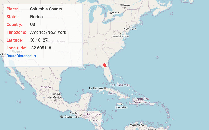
Full AddressColumbia County, FL
-
Coordinates30.1812696, -82.605118
-
LocationFlorida , US
-
TimezoneAmerica/New_York
-
Current Local Time3:50:01 PM America/New_YorkTuesday, June 3, 2025
-
Page Views0
About Columbia County
Columbia County is a county located in the north central portion of the U.S. state of Florida. As of the 2020 census, the population was 69,698, up from 67,531 at the 2010 census. Its county seat is Lake City.


Nearby Places
Found 10 places within 50 miles

Watertown
1.0 mi
1.6 km
Watertown, FL
Get directions

Lake City
2.1 mi
3.4 km
Lake City, FL
Get directions
Five Points
3.2 mi
5.1 km
Five Points, FL 32055
Get directions
Mt Carrie
6.1 mi
9.8 km
Mt Carrie, FL 32055
Get directions
Bass
7.4 mi
11.9 km
Bass, FL 32024
Get directions
Winfield
7.4 mi
11.9 km
Winfield, FL 32055
Get directions
Greenfield
9.5 mi
15.3 km
Greenfield, FL 32055
Get directions
Mason
9.8 mi
15.8 km
Mason, FL 32025
Get directions
Suwannee Valley
10.2 mi
16.4 km
Suwannee Valley, FL 32055
Get directions
Olustee
10.6 mi
17.1 km
Olustee, FL 32087
Get directions
Location Links
Local Weather
Weather Information
Coming soon!
Location Map
Static map view of Columbia County, Florida
Browse Places by Distance
Places within specific distances from Columbia County
Short Distances
Long Distances
Click any distance to see all places within that range from Columbia County. Distances shown in miles (1 mile ≈ 1.61 kilometers).