Distance to Columbia, West Virginia

Calculating Your Route
Just a moment while we process your request...
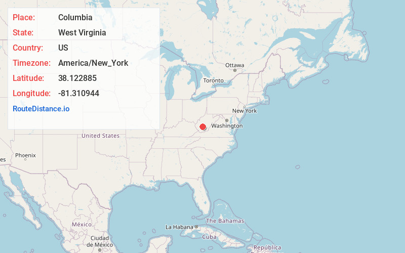
Location Information
-
Full AddressColumbia, WV 25161
-
Coordinates38.1228847, -81.3109436
-
LocationWest Virginia , US
-
TimezoneAmerica/New_York
-
Current Local Time7:32:37 AM America/New_YorkSaturday, June 7, 2025
-
Page Views0
About Columbia
Columbia is an unincorporated community in Fayette County, West Virginia, United States, situated along Armstrong Creek.
Nearby Places
Found 10 places within 50 miles

Kimberly
1.0 mi
1.6 km
Kimberly, WV
Get directions
Powellton
1.8 mi
2.9 km
Powellton, WV
Get directions
Mt Carbon
1.9 mi
3.1 km
Mt Carbon, WV
Get directions

Boomer
2.3 mi
3.7 km
Boomer, WV
Get directions
Eagle
2.5 mi
4.0 km
Eagle, WV 25136
Get directions
Deep Water
2.6 mi
4.2 km
Deep Water, WV 25139
Get directions
Donwood
3.0 mi
4.8 km
Donwood, WV 25136
Get directions
Elkridge
3.2 mi
5.1 km
Elkridge, WV 25161
Get directions

Falls View
3.4 mi
5.5 km
Falls View, WV 25139
Get directions
Oakland
3.5 mi
5.6 km
Oakland, Smithers, WV 25186
Get directions
Location Links
Local Weather
Weather Information
Coming soon!
Location Map
Static map view of Columbia, West Virginia
Browse Places by Distance
Places within specific distances from Columbia
Short Distances
Long Distances
Click any distance to see all places within that range from Columbia. Distances shown in miles (1 mile ≈ 1.61 kilometers).