Distance to Congleton, North Carolina

Calculating Your Route
Just a moment while we process your request...
Location Information
-
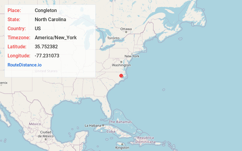
Full AddressCongleton, NC 27884
-
Coordinates35.7523817, -77.2310733
-
LocationNorth Carolina , US
-
TimezoneAmerica/New_York
-
Current Local Time5:21:50 AM America/New_YorkWednesday, June 18, 2025
-
Page Views0
About Congleton
Congleton is an unincorporated community in Pitt County, in the U.S. state of North Carolina.
Nearby Places
Found 10 places within 50 miles

Stokes
3.2 mi
5.1 km
Stokes, NC 27884
Get directions

Robersonville
5.1 mi
8.2 km
Robersonville, NC 27871
Get directions
Whitehurst
5.7 mi
9.2 km
Whitehurst, NC 27812
Get directions

Bear Grass
5.9 mi
9.5 km
Bear Grass, NC 27892
Get directions
Leggetts Crossroads
6.3 mi
10.1 km
Leggetts Crossroads, NC 27834
Get directions
Parmele
6.4 mi
10.3 km
Parmele, NC
Get directions

Everetts
6.5 mi
10.5 km
Everetts, NC
Get directions
Staton
8.2 mi
13.2 km
Staton, NC 27834
Get directions

Bethel
9.1 mi
14.6 km
Bethel, NC 27812
Get directions
House
10.1 mi
16.3 km
House, NC 27834
Get directions
Location Links
Local Weather
Weather Information
Coming soon!
Location Map
Static map view of Congleton, North Carolina
Browse Places by Distance
Places within specific distances from Congleton
Short Distances
Long Distances
Click any distance to see all places within that range from Congleton. Distances shown in miles (1 mile ≈ 1.61 kilometers).