Distance to Congo, Pennsylvania

Calculating Your Route
Just a moment while we process your request...
Location Information
-
Full AddressCongo, PA 19504
-
Coordinates40.350931, -75.5837948
-
LocationCongo , Pennsylvania , US
-
TimezoneAmerica/New_York
-
Current Local Time9:49:48 AM America/New_YorkWednesday, June 18, 2025
-
Page Views0
About Congo
Congo is a village in Douglass Township, Montgomery County, Pennsylvania, United States. Congo is located at the intersection of Hoffmansville Road and Congo Road, northeast of Boyertown. It is drained by the Swamp Creek into the Perkiomen Creek and uses the Barto ZIP Code of 19504.
Nearby Places
Found 10 places within 50 miles

New Hanover Township
2.3 mi
3.7 km
New Hanover Township, PA
Get directions

Gilbertsville
2.5 mi
4.0 km
Gilbertsville, PA
Get directions

New Berlinville
2.6 mi
4.2 km
New Berlinville, PA
Get directions

Bechtelsville
2.8 mi
4.5 km
Bechtelsville, PA 19505
Get directions

Boyertown
3.1 mi
5.0 km
Boyertown, PA 19512
Get directions
Barto
3.1 mi
5.0 km
Barto, PA 19504
Get directions
Colebrookdale Township
3.5 mi
5.6 km
Colebrookdale Township, PA
Get directions
Bally
3.6 mi
5.8 km
Bally, PA
Get directions
Upper Hanover Township
3.9 mi
6.3 km
Upper Hanover Township, PA
Get directions
Upper Frederick Township
4.8 mi
7.7 km
Upper Frederick Township, PA
Get directions
Location Links
Local Weather
Weather Information
Coming soon!
Location Map
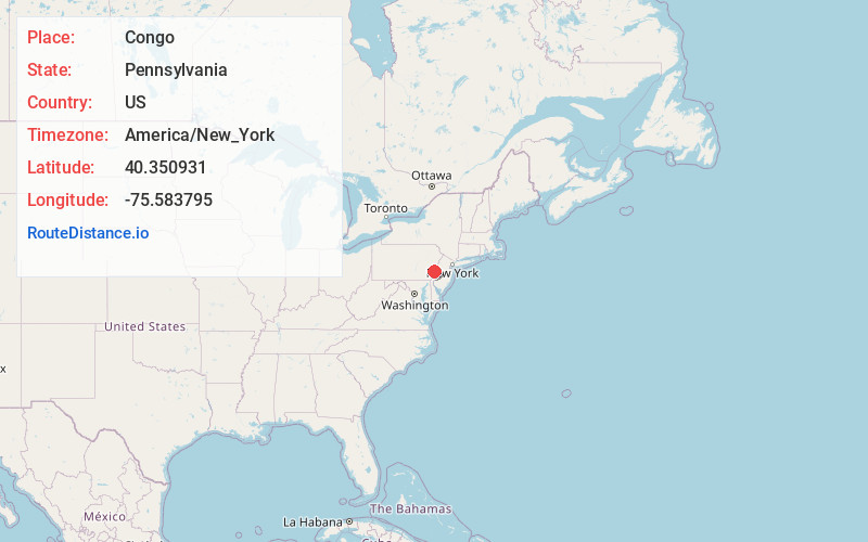
Static map view of Congo, Pennsylvania
Browse Places by Distance
Places within specific distances from Congo
Short Distances
Long Distances
Click any distance to see all places within that range from Congo. Distances shown in miles (1 mile ≈ 1.61 kilometers).