Distance to Conneaut, Ohio

Calculating Your Route
Just a moment while we process your request...
Location Information
-
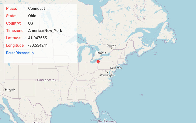
Full AddressConneaut, OH 44030
-
Coordinates41.9475551, -80.5542409
-
LocationConneaut , Ohio , US
-
TimezoneAmerica/New_York
-
Current Local Time5:26:34 AM America/New_YorkWednesday, June 18, 2025
-
Website
-
Page Views0
About Conneaut
Conneaut is the northeastern most city in Ashtabula County, Ohio, United States, as well as the entire state as a whole. Located in the Cleveland metropolitan area, it is settled along Lake Erie at the mouth of Conneaut Creek 66 miles northeast of Cleveland. The population was 12,318 at the 2020 census.


Nearby Places
Found 10 places within 50 miles

Ashtabula
13.4 mi
21.6 km
Ashtabula, OH 44004
Get directions

Fairview
16.4 mi
26.4 km
Fairview, PA
Get directions

Erie
27.2 mi
43.8 km
Erie, PA
Get directions

Meadville
29.6 mi
47.6 km
Meadville, PA 16335
Get directions

Harborcreek Township
34.9 mi
56.2 km
Harborcreek Township, PA
Get directions

Painesville
38.8 mi
62.4 km
Painesville, OH 44077
Get directions

Mentor
44.9 mi
72.3 km
Mentor, OH 44060
Get directions

Willoughby
48.8 mi
78.5 km
Willoughby, OH 44094
Get directions

Sharon
49.5 mi
79.7 km
Sharon, PA
Get directions

Hermitage
49.6 mi
79.8 km
Hermitage, PA
Get directions
Location Links
Local Weather
Weather Information
Coming soon!
Location Map
Static map view of Conneaut, Ohio
Browse Places by Distance
Places within specific distances from Conneaut
Short Distances
Long Distances
Click any distance to see all places within that range from Conneaut. Distances shown in miles (1 mile ≈ 1.61 kilometers).