Distance to Conroy, Iowa

Calculating Your Route
Just a moment while we process your request...
Location Information
-
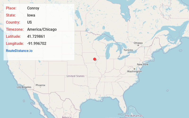
Full AddressConroy, IA
-
Coordinates41.7298609, -91.9967024
-
LocationConroy , Iowa , US
-
TimezoneAmerica/Chicago
-
Current Local Time12:12:03 PM America/ChicagoThursday, July 3, 2025
-
Page Views0
About Conroy
Conroy is an unincorporated community and census-designated place in central Iowa County, Iowa, United States. It lies along local roads southeast of the city of Marengo, the county seat of Iowa County. Its elevation is 879 feet. Conroy has a post office with the ZIP Code of 52220, which opened on 5 January 1885.


Nearby Places
Found 10 places within 50 miles

South Amana
3.5 mi
5.6 km
South Amana, IA 52334
Get directions

Williamsburg
4.8 mi
7.7 km
Williamsburg, IA 52361
Get directions

Marengo
5.7 mi
9.2 km
Marengo, IA 52301
Get directions

Middle Amana
6.8 mi
10.9 km
Middle Amana, IA
Get directions

Homestead
7.0 mi
11.3 km
Homestead, IA 52236
Get directions

Ladora
9.8 mi
15.8 km
Ladora, IA 52251
Get directions
Parnell
10.2 mi
16.4 km
Parnell, IA 52325
Get directions

Oxford
10.6 mi
17.1 km
Oxford, IA 52322
Get directions

Norway
12.6 mi
20.3 km
Norway, IA 52318
Get directions

Blairstown
13.2 mi
21.2 km
Blairstown, IA 52209
Get directions
Location Links
Local Weather
Weather Information
Coming soon!
Location Map
Static map view of Conroy, Iowa
Browse Places by Distance
Places within specific distances from Conroy
Short Distances
Long Distances
Click any distance to see all places within that range from Conroy. Distances shown in miles (1 mile ≈ 1.61 kilometers).