Distance to Homestead, Iowa

Calculating Your Route
Just a moment while we process your request...
Location Information
-
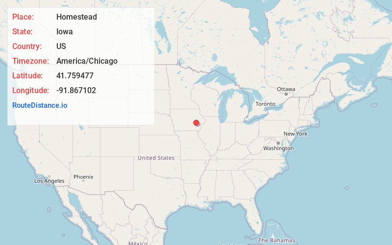
Full AddressHomestead, IA 52236
-
Coordinates41.759477, -91.8671024
-
LocationHomestead , Iowa , US
-
TimezoneAmerica/Chicago
-
Current Local Time8:19:03 AM America/ChicagoThursday, June 19, 2025
-
Page Views1
About Homestead
Homestead is an unincorporated community in Iowa County, Iowa, United States. It has the ZIP code 52236.
Homestead is a census-designated place with the population recorded as 135 in the 2020 census.
Nearby Places
Found 10 places within 50 miles

Middle Amana
3.0 mi
4.8 km
Middle Amana, IA
Get directions

Oxford
4.7 mi
7.6 km
Oxford, IA 52322
Get directions

South Amana
5.3 mi
8.5 km
South Amana, IA 52334
Get directions

Walford
8.4 mi
13.5 km
Walford, IA
Get directions

Williamsburg
10.0 mi
16.1 km
Williamsburg, IA 52361
Get directions

Norway
10.3 mi
16.6 km
Norway, IA 52318
Get directions

Marengo
10.7 mi
17.2 km
Marengo, IA 52301
Get directions

Swisher
10.7 mi
17.2 km
Swisher, IA 52338
Get directions

Tiffin
10.9 mi
17.5 km
Tiffin, IA
Get directions
Fairfax
11.9 mi
19.2 km
Fairfax, IA 52228
Get directions
Location Links
Local Weather
Weather Information
Coming soon!
Location Map
Static map view of Homestead, Iowa
Browse Places by Distance
Places within specific distances from Homestead
Short Distances
Long Distances
Click any distance to see all places within that range from Homestead. Distances shown in miles (1 mile ≈ 1.61 kilometers).