Distance to Walford, Iowa

Calculating Your Route
Just a moment while we process your request...
Location Information
-
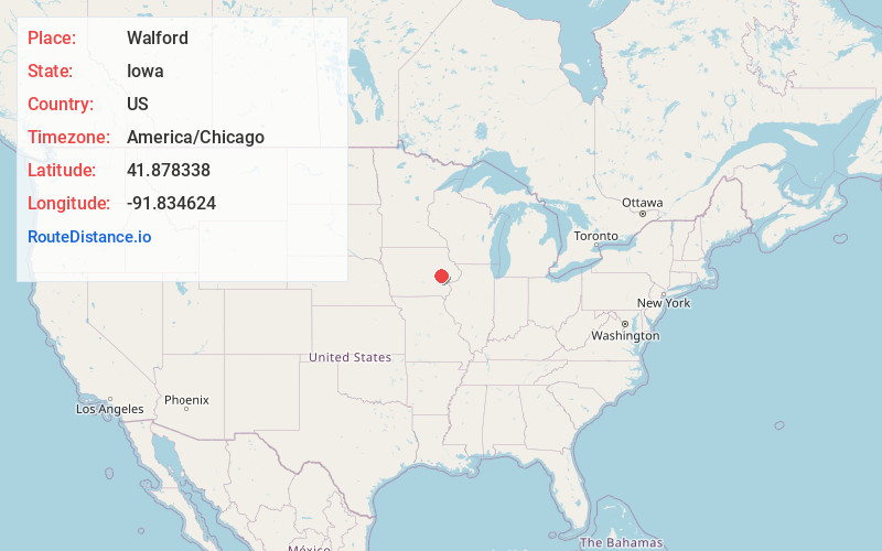
Full AddressWalford, IA
-
Coordinates41.8783375, -91.8346236
-
LocationWalford , Iowa , US
-
TimezoneAmerica/Chicago
-
Current Local Time5:52:38 PM America/ChicagoFriday, June 20, 2025
-
Page Views0
About Walford
Walford is a city in Benton and Linn counties in the U.S. state of Iowa. The population was 1,366 at the time of the 2020 census. It is part of the Cedar Rapids Metropolitan Statistical Area.

Nearby Places
Found 10 places within 50 miles

Fairfax
4.0 mi
6.4 km
Fairfax, IA 52228
Get directions
Atkins
8.3 mi
13.4 km
Atkins, IA 52206
Get directions

Cedar Rapids
11.1 mi
17.9 km
Cedar Rapids, IA
Get directions
Ely
12.8 mi
20.6 km
Ely, IA 52227
Get directions

Marengo
13.5 mi
21.7 km
Marengo, IA 52301
Get directions

Hiawatha
14.2 mi
22.9 km
Hiawatha, IA
Get directions

North Liberty
14.6 mi
23.5 km
North Liberty, IA 52317
Get directions
Tiffin
14.6 mi
23.5 km
Tiffin, IA
Get directions

Robins
15.9 mi
25.6 km
Robins, IA
Get directions

Marion
16.2 mi
26.1 km
Marion, IA
Get directions
Location Links
Local Weather
Weather Information
Coming soon!
Location Map
Static map view of Walford, Iowa
Browse Places by Distance
Places within specific distances from Walford
Short Distances
Long Distances
Click any distance to see all places within that range from Walford. Distances shown in miles (1 mile ≈ 1.61 kilometers).