Distance to Cookietown, Oklahoma

Calculating Your Route
Just a moment while we process your request...
Location Information
-
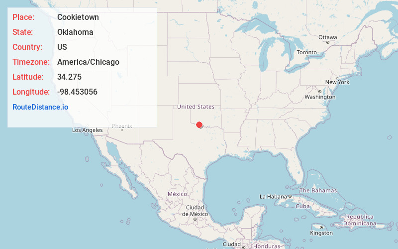
Full AddressCookietown, OK 73531
-
Coordinates34.275, -98.453056
-
LocationCookietown , Oklahoma , US
-
TimezoneAmerica/Chicago
-
Current Local Time6:12:24 PM America/ChicagoMonday, June 30, 2025
-
Page Views0
About Cookietown
Cookietown is a small unincorporated community in Cotton County, Oklahoma, United States. It is located less than 15 driving miles southwest of the county seat of Walters, and is situated just off US Route 277 near its intersection with Oklahoma State Highway 5A.

Nearby Places
Found 10 places within 50 miles

Randlett
6.8 mi
10.9 km
Randlett, OK 73562
Get directions

Devol
9.5 mi
15.3 km
Devol, OK 73531
Get directions

Taylor
9.9 mi
15.9 km
Taylor, OK 73562
Get directions

Walters
10.2 mi
16.4 km
Walters, OK 73572
Get directions

Temple
12.4 mi
20.0 km
Temple, OK 73568
Get directions

Grandfield
13.6 mi
21.9 km
Grandfield, OK 73546
Get directions

Burkburnett
14.0 mi
22.5 km
Burkburnett, TX 76354
Get directions

Faxon
14.5 mi
23.3 km
Faxon, OK 73540
Get directions
Charlie
14.6 mi
23.5 km
Charlie, TX 76305
Get directions
Geronimo
14.8 mi
23.8 km
Geronimo, OK 73543
Get directions
Location Links
Local Weather
Weather Information
Coming soon!
Location Map
Static map view of Cookietown, Oklahoma
Browse Places by Distance
Places within specific distances from Cookietown
Short Distances
Long Distances
Click any distance to see all places within that range from Cookietown. Distances shown in miles (1 mile ≈ 1.61 kilometers).