Distance to Walters, Oklahoma

Calculating Your Route
Just a moment while we process your request...
Location Information
-
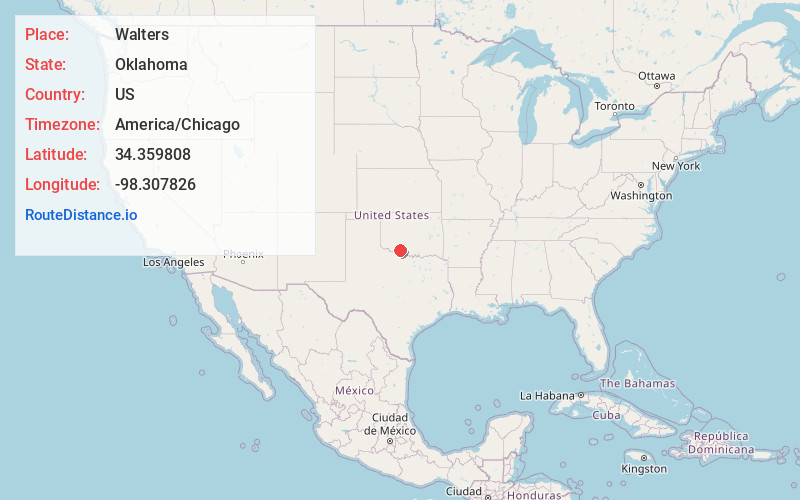
Full AddressWalters, OK 73572
-
Coordinates34.3598075, -98.3078258
-
LocationWalters , Oklahoma , US
-
TimezoneAmerica/Chicago
-
Current Local Time5:01:18 AM America/ChicagoSunday, June 22, 2025
-
Page Views0
About Walters
Walters is a town in Cotton County, Oklahoma, United States. Its population was 2,412 as of the 2020 United States census. The city, nestled between twin creeks, is the county seat of Cotton County. The city's motto is "Small Town; Big Heart".

Nearby Places
Found 10 places within 50 miles

Lawton
17.6 mi
28.3 km
Lawton, OK
Get directions

Duncan
22.2 mi
35.7 km
Duncan, OK
Get directions

Burkburnett
23.5 mi
37.8 km
Burkburnett, TX 76354
Get directions

Cache
26.1 mi
42.0 km
Cache, OK 73527
Get directions

Marlow
28.2 mi
45.4 km
Marlow, OK 73055
Get directions

Elgin
29.1 mi
46.8 km
Elgin, OK 73538
Get directions

Wichita Falls
32.6 mi
52.5 km
Wichita Falls, TX
Get directions

Iowa Park
35.0 mi
56.3 km
Iowa Park, TX 76367
Get directions

Henrietta
38.0 mi
61.2 km
Henrietta, TX 76365
Get directions

Frederick
40.6 mi
65.3 km
Frederick, OK 73542
Get directions
Location Links
Local Weather
Weather Information
Coming soon!
Location Map
Static map view of Walters, Oklahoma
Browse Places by Distance
Places within specific distances from Walters
Short Distances
Long Distances
Click any distance to see all places within that range from Walters. Distances shown in miles (1 mile ≈ 1.61 kilometers).