Distance to Coolidge, Kansas

Calculating Your Route
Just a moment while we process your request...
Location Information
-
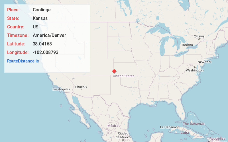
Full AddressCoolidge, KS 67836
-
Coordinates38.0416799, -102.0087927
-
LocationCoolidge , Kansas , US
-
TimezoneAmerica/Denver
-
Current Local Time3:25:51 AM America/DenverMonday, June 2, 2025
-
Page Views0
About Coolidge
Coolidge is a city in Hamilton County, Kansas, United States. As of the 2020 census, the population of the city was 80. It is located along Highway 50, approximately one mile east of the Colorado-Kansas border.


Nearby Places
Found 10 places within 50 miles

Holly
6.2 mi
10.0 km
Holly, CO 81047
Get directions

Syracuse
14.6 mi
23.5 km
Syracuse, KS 67878
Get directions

Granada
16.5 mi
26.6 km
Granada, CO 81041
Get directions

Tribune
32.7 mi
52.6 km
Tribune, KS 67879
Get directions

Lamar
33.4 mi
53.8 km
Lamar, CO 81052
Get directions

Johnson City
35.5 mi
57.1 km
Johnson City, KS 67855
Get directions
Manter
36.5 mi
58.7 km
Manter, KS 67862
Get directions

Wiley
39.4 mi
63.4 km
Wiley, CO 81092
Get directions

Lakin
41.6 mi
66.9 km
Lakin, KS 67860
Get directions
McClave
46.2 mi
74.4 km
McClave, CO 81057
Get directions
Location Links
Local Weather
Weather Information
Coming soon!
Location Map
Static map view of Coolidge, Kansas
Browse Places by Distance
Places within specific distances from Coolidge
Short Distances
Long Distances
Click any distance to see all places within that range from Coolidge. Distances shown in miles (1 mile ≈ 1.61 kilometers).