Distance to Copper Hill, Virginia

Calculating Your Route
Just a moment while we process your request...
Location Information
-
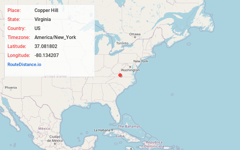
Full AddressCopper Hill, VA 24079
-
Coordinates37.0818022, -80.1342066
-
LocationCopper Hill , Virginia , US
-
TimezoneAmerica/New_York
-
Current Local Time5:20:45 PM America/New_YorkWednesday, July 2, 2025
-
Page Views0
About Copper Hill
Copper Hill is an unincorporated community in Floyd County, Virginia, United States. The settlement is located southwest of Roanoke.
Nearby Places
Found 10 places within 50 miles

Bent Mountain
4.2 mi
6.8 km
Bent Mountain, VA 24059
Get directions

Naff
8.1 mi
13.0 km
Naff, VA 24065
Get directions

Shawsville
9.0 mi
14.5 km
Shawsville, VA
Get directions

Boones Mill
10.2 mi
16.4 km
Boones Mill, VA 24065
Get directions

Elliston
10.7 mi
17.2 km
Elliston, VA 24087
Get directions

Lafayette
11.4 mi
18.3 km
Lafayette, VA 24087
Get directions
Basham
11.9 mi
19.2 km
Basham, VA 24138
Get directions

Cave Spring
12.1 mi
19.5 km
Cave Spring, VA 24018
Get directions
Taylor
12.7 mi
20.4 km
Taylor, VA 24065
Get directions

Ferrum
12.8 mi
20.6 km
Ferrum, VA 24088
Get directions
Location Links
Local Weather
Weather Information
Coming soon!
Location Map
Static map view of Copper Hill, Virginia
Browse Places by Distance
Places within specific distances from Copper Hill
Short Distances
Long Distances
Click any distance to see all places within that range from Copper Hill. Distances shown in miles (1 mile ≈ 1.61 kilometers).