Distance to Corbin, Kansas

Calculating Your Route
Just a moment while we process your request...
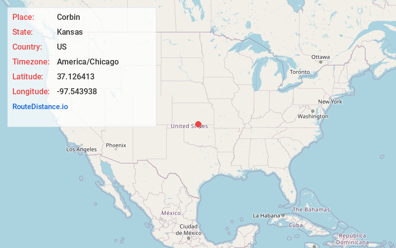
Location Information
-
Full AddressCorbin, KS 67022
-
Coordinates37.1264125, -97.5439376
-
LocationCorbin , Kansas , US
-
TimezoneAmerica/Chicago
-
Current Local Time10:41:50 PM America/ChicagoThursday, June 19, 2025
-
Page Views0
About Corbin
Corbin is an unincorporated community in Sumner County, Kansas, United States. It is located about 6.5 miles northeast of Caldwell near the intersection of S Mayfield Rd and W 110th St S, next to the railroad.
Nearby Places
Found 10 places within 50 miles

Caldwell
7.4 mi
11.9 km
Caldwell, KS 67022
Get directions

Mayfield
9.1 mi
14.6 km
Mayfield, KS 67103
Get directions

South Haven
9.2 mi
14.8 km
South Haven, KS 67140
Get directions
Doster
10.3 mi
16.6 km
Doster, Bluff Township, KS 67022
Get directions
Roland
10.8 mi
17.4 km
Roland, Wellington Township, KS 67152
Get directions
Hunnewell
11.4 mi
18.3 km
Hunnewell, KS 67140
Get directions

Milan
11.7 mi
18.8 km
Milan, KS 67105
Get directions
Portland
13.2 mi
21.2 km
Portland, Guelph Township, KS 67140
Get directions

Wellington
13.5 mi
21.7 km
Wellington, KS
Get directions
Metcalf
13.9 mi
22.4 km
Metcalf, Bluff Township, KS 67022
Get directions
Location Links
Local Weather
Weather Information
Coming soon!
Location Map
Static map view of Corbin, Kansas
Browse Places by Distance
Places within specific distances from Corbin
Short Distances
Long Distances
Click any distance to see all places within that range from Corbin. Distances shown in miles (1 mile ≈ 1.61 kilometers).