Distance to Cornwell, Virginia

Calculating Your Route
Just a moment while we process your request...
Location Information
-
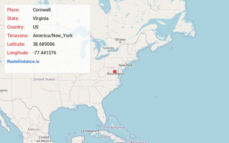
Full AddressCornwell, VA 20112
-
Coordinates38.6890062, -77.4413758
-
LocationVirginia , US
-
TimezoneAmerica/New_York
-
Current Local Time1:10:52 AM America/New_YorkFriday, June 20, 2025
-
Page Views0
About Cornwell
Cornwell is an unincorporated community in Prince William County, Virginia, United States. It is located on State Route 234 about one mile north of Canova at its intersection with Purcell Road.
Nearby Places
Found 10 places within 50 miles

Buckhall
3.1 mi
5.0 km
Buckhall, VA
Get directions

Manassas
4.6 mi
7.4 km
Manassas, VA
Get directions
County Center
5.0 mi
8.0 km
County Center, VA
Get directions

Manassas Park
6.7 mi
10.8 km
Manassas Park, VA 20111
Get directions

Clifton
7.0 mi
11.3 km
Clifton, VA 20124
Get directions
Loch Lomond
7.0 mi
11.3 km
Loch Lomond, VA
Get directions

Montclair
7.0 mi
11.3 km
Montclair, VA
Get directions

Yorkshire
7.2 mi
11.6 km
Yorkshire, VA 20111
Get directions

Nokesville
7.5 mi
12.1 km
Nokesville, VA 20181
Get directions

Lake Ridge
7.7 mi
12.4 km
Lake Ridge, VA 22192
Get directions
Location Links
Local Weather
Weather Information
Coming soon!
Location Map
Static map view of Cornwell, Virginia
Browse Places by Distance
Places within specific distances from Cornwell
Short Distances
Long Distances
Click any distance to see all places within that range from Cornwell. Distances shown in miles (1 mile ≈ 1.61 kilometers).