Distance to Corral, Idaho

Calculating Your Route
Just a moment while we process your request...
Location Information
-
Full AddressCorral, ID 83327
-
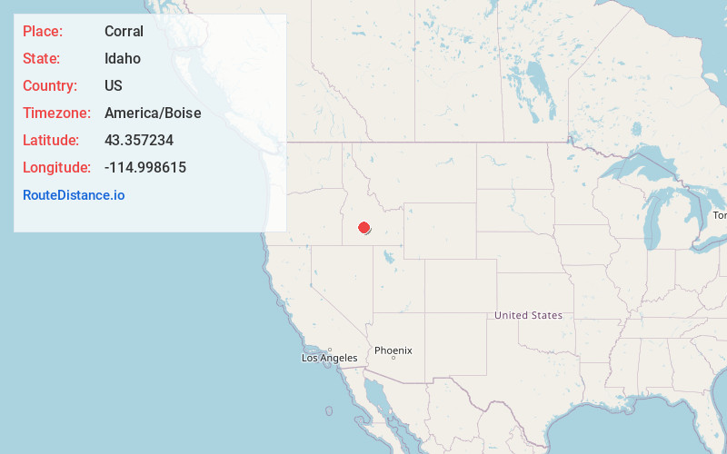
Coordinates43.3572343, -114.9986154
-
LocationCorral , Idaho , US
-
TimezoneAmerica/Boise
-
Current Local Time12:26:02 PM America/BoiseWednesday, June 18, 2025
-
Page Views0
About Corral
Corral is an unincorporated community in southwestern Camas County, Idaho, United States. It lies along U.S. Route 20 west of the city of Fairfield, the county seat of Camas County. Although Corral is unincorporated, it has a post office, with the ZIP code of 83322.


Nearby Places
Found 10 places within 50 miles

Hill City
4.7 mi
7.6 km
Hill City, ID 83337
Get directions

Fairfield
10.4 mi
16.7 km
Fairfield, ID 83327
Get directions

Soldier
10.4 mi
16.7 km
Soldier, ID 83327
Get directions
Selby
14.5 mi
23.3 km
Selby, ID 83327
Get directions
Rands
17.4 mi
28.0 km
Rands, ID 83327
Get directions

Pine
18.0 mi
29.0 km
Pine, ID 83647
Get directions

Paradise Hot Springs
19.4 mi
31.2 km
Paradise Hot Springs, ID 83647
Get directions

Featherville
21.8 mi
35.1 km
Featherville, ID 83647
Get directions
Carrietown
22.7 mi
36.5 km
Carrietown, ID 83340
Get directions
Macon
22.9 mi
36.9 km
Macon, ID 83327
Get directions
Location Links
Local Weather
Weather Information
Coming soon!
Location Map
Static map view of Corral, Idaho
Browse Places by Distance
Places within specific distances from Corral
Short Distances
Long Distances
Click any distance to see all places within that range from Corral. Distances shown in miles (1 mile ≈ 1.61 kilometers).