Distance to Hill City, Idaho

Calculating Your Route
Just a moment while we process your request...
Location Information
-
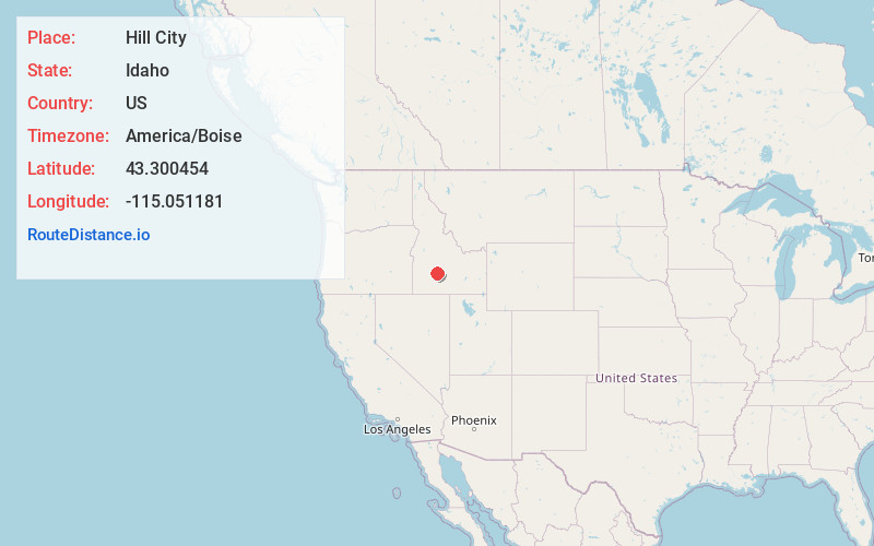
Full AddressHill City, ID 83337
-
Coordinates43.3004541, -115.0511807
-
LocationHill City , Idaho , US
-
TimezoneAmerica/Boise
-
Current Local Time10:29:48 PM America/BoiseSunday, June 1, 2025
-
Page Views0
About Hill City
Hill City is an unincorporated community in southwestern Camas County, Idaho, United States.
It lies at the intersection of U.S. Route 20 with Mink and Swamp Roads and Trader Lane, 14 miles west-southwest of Fairfield, the county seat.


Nearby Places
Found 10 places within 50 miles

Fairfield
13.4 mi
21.6 km
Fairfield, ID 83327
Get directions

King Hill
21.9 mi
35.2 km
King Hill, ID 83633
Get directions

Featherville
23.8 mi
38.3 km
Featherville, ID 83647
Get directions

Bliss
26.3 mi
42.3 km
Bliss, ID 83314
Get directions

Glenns Ferry
27.0 mi
43.5 km
Glenns Ferry, ID
Get directions

Rocky Bar
29.4 mi
47.3 km
Rocky Bar, ID 83716
Get directions

Doniphan
29.5 mi
47.5 km
Doniphan, ID 83333
Get directions

Gooding
30.3 mi
48.8 km
Gooding, ID 83330
Get directions
Steamboat Rock
30.7 mi
49.4 km
Steamboat Rock, ID 83647
Get directions

Hammett
32.2 mi
51.8 km
Hammett, ID 83627
Get directions
Location Links
Local Weather
Weather Information
Coming soon!
Location Map
Static map view of Hill City, Idaho
Browse Places by Distance
Places within specific distances from Hill City
Short Distances
Long Distances
Click any distance to see all places within that range from Hill City. Distances shown in miles (1 mile ≈ 1.61 kilometers).