Distance to Corralitos, California

Calculating Your Route
Just a moment while we process your request...
Location Information
-
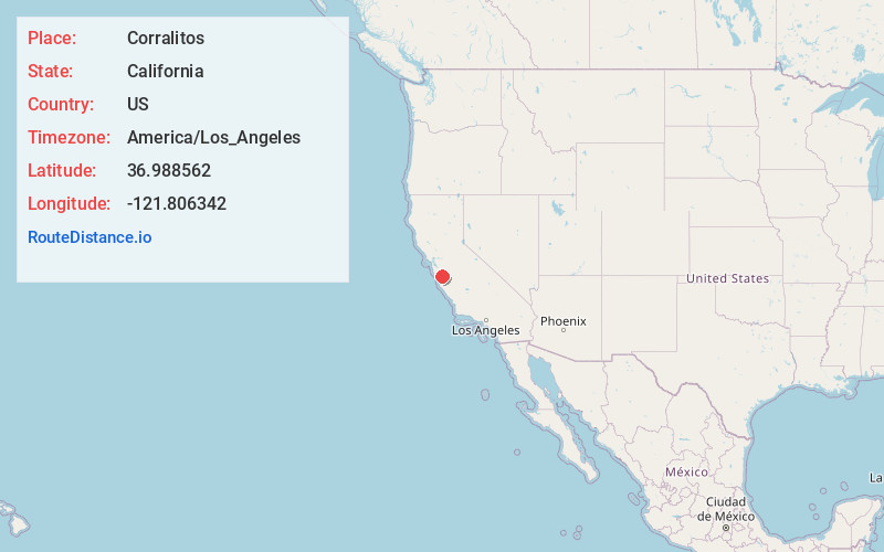
Full AddressCorralitos, CA
-
Coordinates36.988562, -121.8063418
-
LocationCorralitos , California , US
-
TimezoneAmerica/Los_Angeles
-
Current Local Time5:57:47 PM America/Los_AngelesThursday, June 5, 2025
-
Page Views0
About Corralitos
Corralitos is a census-designated place in Santa Cruz County, California, United States. It is a rural area known for its agriculture of apples and strawberries, and its notable Corralitos Market and Sausage Co. Moreover, its location near the Pacific Ocean optimizes viticulture.


Nearby Places
Found 10 places within 50 miles

Amesti
2.3 mi
3.7 km
Amesti, CA 95076
Get directions
Day Valley
2.4 mi
3.9 km
Day Valley, CA
Get directions

Freedom
3.5 mi
5.6 km
Freedom, CA
Get directions

La Selva Beach
4.4 mi
7.1 km
La Selva Beach, CA 95076
Get directions

Interlaken
4.8 mi
7.7 km
Interlaken, CA 95076
Get directions

Rio Del Mar
4.8 mi
7.7 km
Rio Del Mar, CA
Get directions

Aptos
5.2 mi
8.4 km
Aptos, CA 95003
Get directions

Watsonville
6.1 mi
9.8 km
Watsonville, CA
Get directions

Pajaro
6.7 mi
10.8 km
Pajaro, CA 95076
Get directions

Capitola
8.2 mi
13.2 km
Capitola, CA
Get directions
Location Links
Local Weather
Weather Information
Coming soon!
Location Map
Static map view of Corralitos, California
Browse Places by Distance
Places within specific distances from Corralitos
Short Distances
Long Distances
Click any distance to see all places within that range from Corralitos. Distances shown in miles (1 mile ≈ 1.61 kilometers).