Distance to Corydon, Iowa

Calculating Your Route
Just a moment while we process your request...
Location Information
-
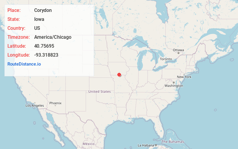
Full AddressCorydon, IA 50060
-
Coordinates40.7569499, -93.3188229
-
LocationCorydon , Iowa , US
-
TimezoneAmerica/Chicago
-
Current Local Time7:08:52 PM America/ChicagoSaturday, June 21, 2025
-
Website
-
Page Views0
About Corydon
Corydon is a city in Wayne County, Iowa, United States. The population was 1,526 in the 2020 census, a decline from 1,591 in 2000. It is the county seat of Wayne County.
The town was laid out and platted in 1851 and later that year designated as the county seat.


Nearby Places
Found 10 places within 50 miles

Chariton
18.2 mi
29.3 km
Chariton, IA 50049
Get directions

Leon
22.5 mi
36.2 km
Leon, IA 50144
Get directions

Centerville
23.4 mi
37.7 km
Centerville, IA 52544
Get directions

Unionville
25.5 mi
41.0 km
Unionville, MO 63565
Get directions

Osceola
30.2 mi
48.6 km
Osceola, IA 50213
Get directions

Albia
32.5 mi
52.3 km
Albia, IA 52531
Get directions

Lamoni
33.5 mi
53.9 km
Lamoni, IA
Get directions

Milan
39.7 mi
63.9 km
Milan, MO 63556
Get directions

Knoxville
40.6 mi
65.3 km
Knoxville, IA 50138
Get directions

Indianola
43.4 mi
69.8 km
Indianola, IA 50125
Get directions
Location Links
Local Weather
Weather Information
Coming soon!
Location Map
Static map view of Corydon, Iowa
Browse Places by Distance
Places within specific distances from Corydon
Short Distances
Long Distances
Click any distance to see all places within that range from Corydon. Distances shown in miles (1 mile ≈ 1.61 kilometers).