Distance to Cottondale, Arkansas

Calculating Your Route
Just a moment while we process your request...
Location Information
-
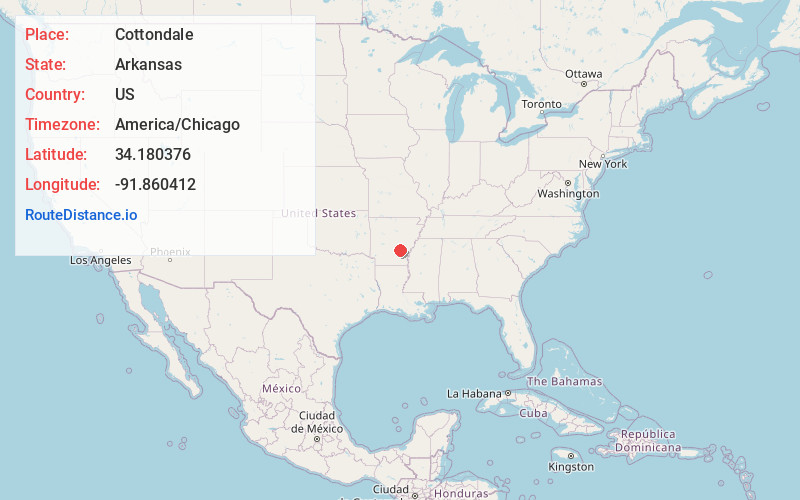
Full AddressCottondale, AR 71601
-
Coordinates34.180376, -91.8604121
-
LocationArkansas , US
-
TimezoneAmerica/Chicago
-
Current Local Time7:38:49 PM America/ChicagoThursday, June 5, 2025
-
Page Views0
Nearby Places
Found 10 places within 50 miles

Pine Bluff
8.7 mi
14.0 km
Pine Bluff, AR
Get directions

Altheimer
9.7 mi
15.6 km
Altheimer, AR 72004
Get directions

Grady
11.5 mi
18.5 km
Grady, AR
Get directions
Wabbaseka
13.0 mi
20.9 km
Wabbaseka, AR
Get directions
Birmac
13.8 mi
22.2 km
Birmac, AR 72004
Get directions
Henslee Heights
13.9 mi
22.4 km
Henslee Heights, White Hall, AR 71602
Get directions

White Hall
14.5 mi
23.3 km
White Hall, AR 71602
Get directions
Sherrill
15.1 mi
24.3 km
Sherrill, AR 72152
Get directions
Glendale
16.1 mi
25.9 km
Glendale, AR 71667
Get directions
Star City
16.5 mi
26.6 km
Star City, AR 71667
Get directions
Location Links
Local Weather
Weather Information
Coming soon!
Location Map
Static map view of Cottondale, Arkansas
Browse Places by Distance
Places within specific distances from Cottondale
Short Distances
Long Distances
Click any distance to see all places within that range from Cottondale. Distances shown in miles (1 mile ≈ 1.61 kilometers).