Distance to Coulee, North Dakota

Calculating Your Route
Just a moment while we process your request...
Location Information
-
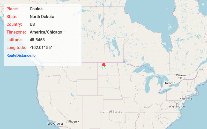
Full AddressCoulee, ND 58734
-
Coordinates48.5453002, -102.0115512
-
LocationCoulee , North Dakota , US
-
TimezoneAmerica/Chicago
-
Current Local Time11:21:55 PM America/ChicagoSaturday, June 14, 2025
-
Page Views0
About Coulee
Coulee is an unincorporated community in Mountrail County, North Dakota, United States, on the border of Ward County.
It is the location of Our Savior's Scandinavian Lutheran Church, which is listed on the U.S. National Register of Historic Places.
Nearby Places
Found 10 places within 50 miles

Baden
2.9 mi
4.7 km
Baden, ND 58746
Get directions

Donnybrook
6.3 mi
10.1 km
Donnybrook, ND 58734
Get directions

Kenmare
9.5 mi
15.3 km
Kenmare, ND 58746
Get directions
Hartland
13.3 mi
21.4 km
Hartland, ND 58725
Get directions
Tagus
14.2 mi
22.9 km
Tagus, ND 58718
Get directions
Tolley
15.2 mi
24.5 km
Tolley, ND 58787
Get directions

Carpio
15.3 mi
24.6 km
Carpio, ND 58725
Get directions
Palermo
17.4 mi
28.0 km
Palermo, ND
Get directions
Wassaic
19.4 mi
31.2 km
Wassaic, ND 58784
Get directions
Grano
20.0 mi
32.2 km
Grano, ND 58750
Get directions
Location Links
Local Weather
Weather Information
Coming soon!
Location Map
Static map view of Coulee, North Dakota
Browse Places by Distance
Places within specific distances from Coulee
Short Distances
Long Distances
Click any distance to see all places within that range from Coulee. Distances shown in miles (1 mile ≈ 1.61 kilometers).