Distance to Donnybrook, North Dakota

Calculating Your Route
Just a moment while we process your request...
Location Information
-
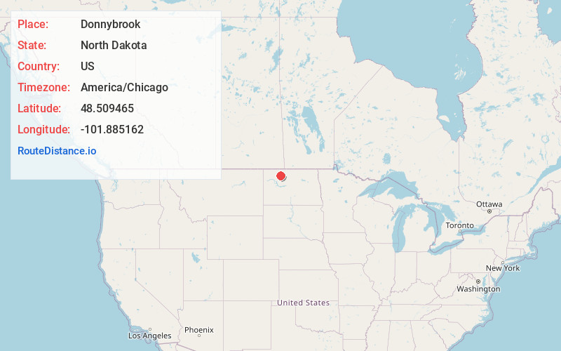
Full AddressDonnybrook, ND 58734
-
Coordinates48.509465, -101.8851618
-
LocationDonnybrook , North Dakota , US
-
TimezoneAmerica/Chicago
-
Current Local Time12:59:15 AM America/ChicagoThursday, June 19, 2025
-
Page Views0
About Donnybrook
Donnybrook is a city in Ward County, North Dakota, United States. The population was 75 at the 2020 census. It is part of the Minot Micropolitan Statistical Area.
The first place named Donnybrook was founded in 1895 and named after Donnybrook Fair in Ireland.


Nearby Places
Found 10 places within 50 miles

Carpio
9.1 mi
14.6 km
Carpio, ND 58725
Get directions

Kenmare
14.6 mi
23.5 km
Kenmare, ND 58746
Get directions

Berthold
15.2 mi
24.5 km
Berthold, ND 58718
Get directions
Palermo
19.7 mi
31.7 km
Palermo, ND
Get directions

Des Lacs
22.8 mi
36.7 km
Des Lacs, ND 58733
Get directions
Mohall
24.4 mi
39.3 km
Mohall, ND 58761
Get directions
Lansford
24.7 mi
39.8 km
Lansford, ND
Get directions
Bowbells
26.1 mi
42.0 km
Bowbells, ND 58721
Get directions

Minot Air Force Base
26.3 mi
42.3 km
Minot Air Force Base, ND
Get directions

Burlington
26.5 mi
42.6 km
Burlington, ND
Get directions
Location Links
Local Weather
Weather Information
Coming soon!
Location Map
Static map view of Donnybrook, North Dakota
Browse Places by Distance
Places within specific distances from Donnybrook
Short Distances
Long Distances
Click any distance to see all places within that range from Donnybrook. Distances shown in miles (1 mile ≈ 1.61 kilometers).