Distance to Coulter, Iowa

Calculating Your Route
Just a moment while we process your request...
Location Information
-
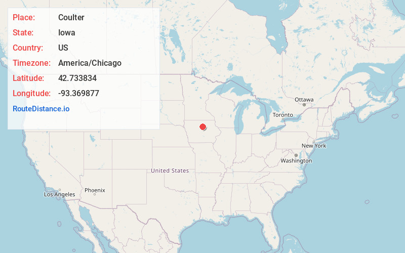
Full AddressCoulter, IA
-
Coordinates42.7338336, -93.3698768
-
LocationCoulter , Iowa , US
-
TimezoneAmerica/Chicago
-
Current Local Time10:26:11 AM America/ChicagoFriday, June 27, 2025
-
Page Views0
About Coulter
Coulter is a city in Franklin County, Iowa, United States. The population was 219 at the 2020 census.
Nearby Places
Found 10 places within 50 miles

Latimer
2.0 mi
3.2 km
Latimer, IA 50452
Get directions

Hampton
8.1 mi
13.0 km
Hampton, IA 50441
Get directions

Dows
8.5 mi
13.7 km
Dows, IA 50071
Get directions

Bradford
9.4 mi
15.1 km
Bradford, IA
Get directions
Meservey
13.5 mi
21.7 km
Meservey, IA 50457
Get directions
Sheffield
13.7 mi
22.0 km
Sheffield, IA 50475
Get directions
Thornton
14.6 mi
23.5 km
Thornton, IA 50479
Get directions
Belmond
14.6 mi
23.5 km
Belmond, IA 50421
Get directions

Alden
14.8 mi
23.8 km
Alden, IA 50006
Get directions

Iowa Falls
15.7 mi
25.3 km
Iowa Falls, IA 50126
Get directions
Location Links
Local Weather
Weather Information
Coming soon!
Location Map
Static map view of Coulter, Iowa
Browse Places by Distance
Places within specific distances from Coulter
Short Distances
Long Distances
Click any distance to see all places within that range from Coulter. Distances shown in miles (1 mile ≈ 1.61 kilometers).