Distance to Counselor, New Mexico

Calculating Your Route
Just a moment while we process your request...
Location Information
-
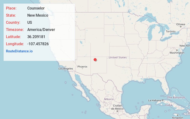
Full AddressCounselor, NM 87018
-
Coordinates36.2091806, -107.4578264
-
LocationCounselor , New Mexico , US
-
TimezoneAmerica/Denver
-
Current Local Time9:11:02 PM America/DenverSunday, June 22, 2025
-
Page Views0
About Counselor
Counselor is an unincorporated community in Sandoval County, New Mexico, United States. Counselor is located at the junction of U.S. Route 550 and New Mexico State Road 403. It is a chapter of the Navajo Nation. It is named after Jim Counselor, who traded in the area in the first decades of the 20th century.


Nearby Places
Found 10 places within 50 miles

Lybrook
6.1 mi
9.8 km
Lybrook, NM 87013
Get directions

Nageezi
16.3 mi
26.2 km
Nageezi, NM 87037
Get directions

Pueblo Pintado
20.2 mi
32.5 km
Pueblo Pintado, NM
Get directions

Penistaja
21.2 mi
34.1 km
Penistaja, NM 87013
Get directions
Kimbeto
21.5 mi
34.6 km
Kimbeto, NM 87037
Get directions

Lindrith
23.9 mi
38.5 km
Lindrith, NM 87029
Get directions

La Jara
28.2 mi
45.4 km
La Jara, NM 87027
Get directions
Tapicitoes
30.1 mi
48.4 km
Tapicitoes, NM 87029
Get directions
La Placita
30.3 mi
48.8 km
La Placita, NM 87013
Get directions

Whitehorse
31.9 mi
51.3 km
Whitehorse, NM 87313
Get directions
Location Links
Local Weather
Weather Information
Coming soon!
Location Map
Static map view of Counselor, New Mexico
Browse Places by Distance
Places within specific distances from Counselor
Short Distances
Long Distances
Click any distance to see all places within that range from Counselor. Distances shown in miles (1 mile ≈ 1.61 kilometers).