Distance to Lindrith, New Mexico

Calculating Your Route
Just a moment while we process your request...
Location Information
-
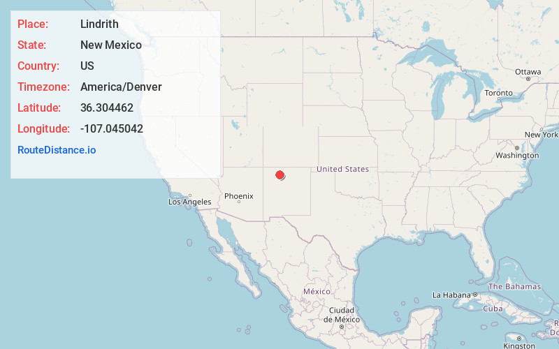
Full AddressLindrith, NM 87029
-
Coordinates36.304462, -107.0450424
-
LocationLindrith , New Mexico , US
-
TimezoneAmerica/Denver
-
Current Local Time8:59:05 PM America/DenverMonday, June 2, 2025
-
Page Views0
About Lindrith
Lindrith is an unincorporated community in Rio Arriba County, New Mexico, United States. Lindrith is located in southern Rio Arriba County along New Mexico State Road 595. Lindrith has a post office with ZIP code 87029. The Lindrith Airpark, a public-use airport, is located in Lindrith.


Nearby Places
Found 10 places within 50 miles

Gallina
14.3 mi
23.0 km
Gallina, NM
Get directions

La Jara
15.5 mi
24.9 km
La Jara, NM 87027
Get directions

Lybrook
29.2 mi
47.0 km
Lybrook, NM 87013
Get directions

Tierra Amarilla
38.6 mi
62.1 km
Tierra Amarilla, NM 87551
Get directions

Nageezi
38.9 mi
62.6 km
Nageezi, NM 87037
Get directions

Pueblo Pintado
40.6 mi
65.3 km
Pueblo Pintado, NM
Get directions

Ensenada
40.8 mi
65.7 km
Ensenada, NM 87551
Get directions

Jemez Springs
41.9 mi
67.4 km
Jemez Springs, NM 87025
Get directions

Navajo Dam
46.5 mi
74.8 km
Navajo Dam, NM
Get directions

El Rito
47.7 mi
76.8 km
El Rito, NM 87530
Get directions
Location Links
Local Weather
Weather Information
Coming soon!
Location Map
Static map view of Lindrith, New Mexico
Browse Places by Distance
Places within specific distances from Lindrith
Short Distances
Long Distances
Click any distance to see all places within that range from Lindrith. Distances shown in miles (1 mile ≈ 1.61 kilometers).