Distance to Gallina, New Mexico

Calculating Your Route
Just a moment while we process your request...
Location Information
-
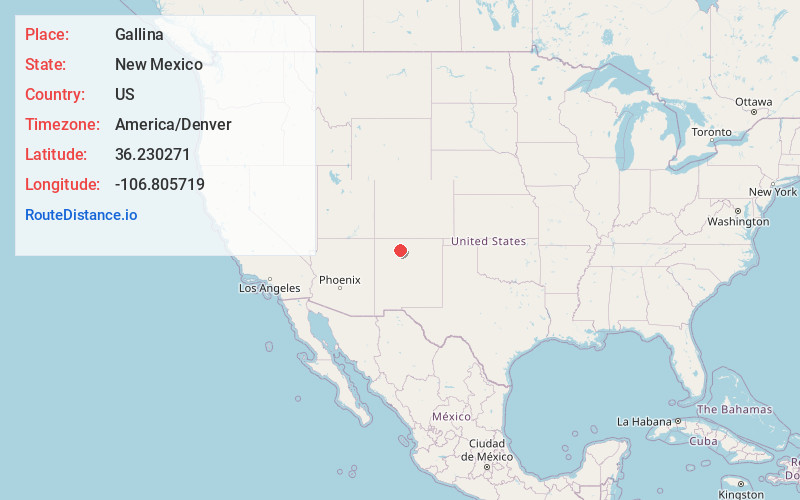
Full AddressGallina, NM
-
Coordinates36.230271, -106.8057189
-
LocationGallina , New Mexico , US
-
TimezoneAmerica/Denver
-
Current Local Time5:28:44 AM America/DenverThursday, June 5, 2025
-
Page Views0
About Gallina
Gallina is a census-designated place in Rio Arriba County, New Mexico, United States. Its population was 286 as of the 2010 census. Gallina has a post office with ZIP code 87017. New Mexico State Road 96 passes through the community.


Nearby Places
Found 10 places within 50 miles

La Jara
13.6 mi
21.9 km
La Jara, NM 87027
Get directions

Jemez Springs
32.5 mi
52.3 km
Jemez Springs, NM 87025
Get directions

El Rito
35.2 mi
56.6 km
El Rito, NM 87530
Get directions

Tierra Amarilla
35.3 mi
56.8 km
Tierra Amarilla, NM 87551
Get directions

Los Alamos
37.1 mi
59.7 km
Los Alamos, NM 87544
Get directions

Ensenada
37.5 mi
60.4 km
Ensenada, NM 87551
Get directions

Hernandez
40.0 mi
64.4 km
Hernandez, NM
Get directions

Chamita
40.6 mi
65.3 km
Chamita, NM 87566
Get directions

Lybrook
42.2 mi
67.9 km
Lybrook, NM 87013
Get directions

Ohkay Owingeh
42.8 mi
68.9 km
Ohkay Owingeh, NM
Get directions
Location Links
Local Weather
Weather Information
Coming soon!
Location Map
Static map view of Gallina, New Mexico
Browse Places by Distance
Places within specific distances from Gallina
Short Distances
Long Distances
Click any distance to see all places within that range from Gallina. Distances shown in miles (1 mile ≈ 1.61 kilometers).