Distance to Cowdrey, Colorado

Calculating Your Route
Just a moment while we process your request...
Location Information
-
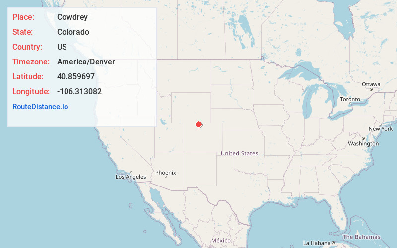
Full AddressCowdrey, CO 80434
-
Coordinates40.859697, -106.3130817
-
LocationCowdrey , Colorado , US
-
TimezoneAmerica/Denver
-
Current Local Time5:27:23 AM America/DenverTuesday, June 10, 2025
-
Page Views0
About Cowdrey
Cowdrey is an unincorporated community with a U.S. Post Office in Jackson County, Colorado, United States. The Cowdrey Post Office has the ZIP Code 80434.


Nearby Places
Found 10 places within 50 miles

Brownlee
5.4 mi
8.7 km
Brownlee, CO 80480
Get directions
Kings Canyon
6.5 mi
10.5 km
Kings Canyon, CO 80434
Get directions

Walden
9.0 mi
14.5 km
Walden, CO 80480
Get directions
Fort Boettcher
12.7 mi
20.4 km
Fort Boettcher, CO 80480
Get directions
Pearl
14.7 mi
23.7 km
Pearl, CO 80480
Get directions
Foxpark
17.3 mi
27.8 km
Foxpark, WY 82070
Get directions
Hebron
18.9 mi
30.4 km
Hebron, CO 80430
Get directions
Glendevey
20.1 mi
32.3 km
Glendevey, CO 82063
Get directions
Coalmont
21.7 mi
34.9 km
Coalmont, CO 80430
Get directions

Albany
24.3 mi
39.1 km
Albany, WY 82070
Get directions
Location Links
Local Weather
Weather Information
Coming soon!
Location Map
Static map view of Cowdrey, Colorado
Browse Places by Distance
Places within specific distances from Cowdrey
Short Distances
Long Distances
Click any distance to see all places within that range from Cowdrey. Distances shown in miles (1 mile ≈ 1.61 kilometers).