Distance to Coxheath, Alabama

Calculating Your Route
Just a moment while we process your request...
Location Information
-
Full AddressCoxheath, AL 36782
-
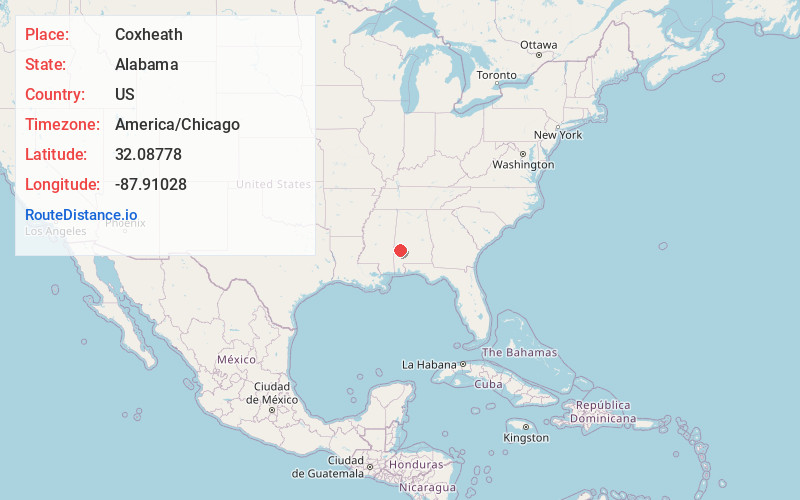
Coordinates32.08778, -87.91028
-
LocationCoxheath , Alabama , US
-
TimezoneAmerica/Chicago
-
Current Local Time9:30:26 AM America/ChicagoTuesday, June 24, 2025
-
Page Views0
About Coxheath
Coxheath is an unincorporated community in Marengo County, Alabama, United States. Coxheath had a post office at one time, but it no longer exists.
Bob Harrington, the evangelist known as the "Chaplain of Bourbon Street," was born in Coxheath.
Nearby Places
Found 10 places within 50 miles

Aimwell
2.5 mi
4.0 km
Aimwell, AL 36782
Get directions

Sweet Water
2.6 mi
4.2 km
Sweet Water, AL 36782
Get directions
Vangale
4.8 mi
7.7 km
Vangale, AL 36782
Get directions
Nanafalia
4.9 mi
7.9 km
Nanafalia, AL 36782
Get directions
Nicholsville
5.5 mi
8.9 km
Nicholsville, AL 36782
Get directions
Hotamville
6.8 mi
10.9 km
Hotamville, AL 36784
Get directions
Dixons Mills
7.5 mi
12.1 km
Dixons Mills, AL 36736
Get directions
Putnam
8.3 mi
13.4 km
Putnam, AL 36784
Get directions
Miller
8.7 mi
14.0 km
Miller, AL 36748
Get directions
Rembert
9.3 mi
15.0 km
Rembert, AL 36748
Get directions
Location Links
Local Weather
Weather Information
Coming soon!
Location Map
Static map view of Coxheath, Alabama
Browse Places by Distance
Places within specific distances from Coxheath
Short Distances
Long Distances
Click any distance to see all places within that range from Coxheath. Distances shown in miles (1 mile ≈ 1.61 kilometers).