Distance to Putnam, Alabama

Calculating Your Route
Just a moment while we process your request...
Location Information
-
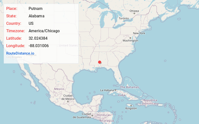
Full AddressPutnam, AL 36784
-
Coordinates32.024384, -88.031006
-
LocationPutnam , Alabama , US
-
TimezoneAmerica/Chicago
-
Current Local Time6:30:33 AM America/ChicagoMonday, June 30, 2025
-
Page Views0
About Putnam
Putnam is an unincorporated community and census-designated place in Marengo County, Alabama, United States. As of the 2020 census, its population was 172.
Nearby Places
Found 10 places within 50 miles

Sweet Water
10.8 mi
17.4 km
Sweet Water, AL 36782
Get directions

Butler
12.1 mi
19.5 km
Butler, AL 36904
Get directions

Pennington
12.7 mi
20.4 km
Pennington, AL 36916
Get directions
Myrtlewood
16.3 mi
26.2 km
Myrtlewood, AL 36782
Get directions
Lisman
17.8 mi
28.6 km
Lisman, AL 36912
Get directions
Toxey
18.0 mi
29.0 km
Toxey, AL
Get directions
Needham
18.1 mi
29.1 km
Needham, AL
Get directions
Coffeeville
18.7 mi
30.1 km
Coffeeville, AL 36524
Get directions

Thomasville
18.9 mi
30.4 km
Thomasville, AL
Get directions

Gilbertown
19.8 mi
31.9 km
Gilbertown, AL 36908
Get directions
Location Links
Local Weather
Weather Information
Coming soon!
Location Map
Static map view of Putnam, Alabama
Browse Places by Distance
Places within specific distances from Putnam
Short Distances
Long Distances
Click any distance to see all places within that range from Putnam. Distances shown in miles (1 mile ≈ 1.61 kilometers).