Distance to Toxey, Alabama

Calculating Your Route
Just a moment while we process your request...
Location Information
-
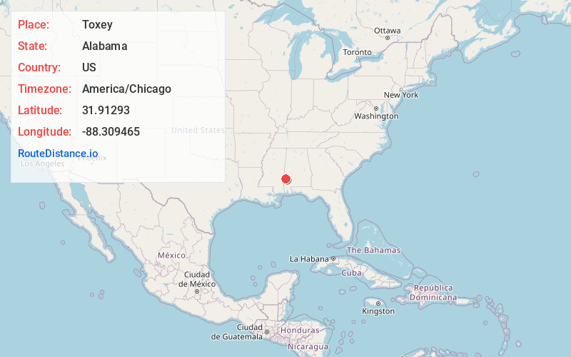
Full AddressToxey, AL
-
Coordinates31.9129297, -88.3094648
-
LocationToxey , Alabama , US
-
TimezoneAmerica/Chicago
-
Current Local Time5:31:19 AM America/ChicagoThursday, June 19, 2025
-
Page Views0
About Toxey
Toxey is a town in Choctaw County, Alabama, United States. At the 2020 census, the population was 145.
Nearby Places
Found 10 places within 50 miles

Gilbertown
2.6 mi
4.2 km
Gilbertown, AL 36908
Get directions

Silas
10.3 mi
16.6 km
Silas, AL 36919
Get directions

Butler
13.2 mi
21.2 km
Butler, AL 36904
Get directions

Cullomburg
13.8 mi
22.2 km
Cullomburg, AL
Get directions

Coffeeville
16.8 mi
27.0 km
Coffeeville, AL 36524
Get directions
Lisman
17.7 mi
28.5 km
Lisman, AL 36912
Get directions
Millry
19.3 mi
31.1 km
Millry, AL 36558
Get directions
Shubuta
23.2 mi
37.3 km
Shubuta, MS 39360
Get directions
De Soto
24.0 mi
38.6 km
De Soto, MS
Get directions
Pennington
25.2 mi
40.6 km
Pennington, AL 36916
Get directions
Location Links
Local Weather
Weather Information
Coming soon!
Location Map
Static map view of Toxey, Alabama
Browse Places by Distance
Places within specific distances from Toxey
Short Distances
Long Distances
Click any distance to see all places within that range from Toxey. Distances shown in miles (1 mile ≈ 1.61 kilometers).