Distance to Coyote Acres, Texas

Calculating Your Route
Just a moment while we process your request...
Location Information
-
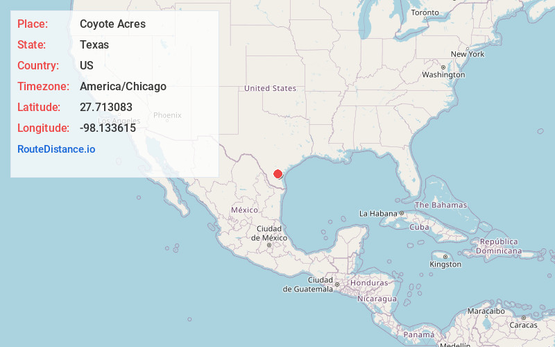
Full AddressCoyote Acres, TX 78332
-
Coordinates27.7130833, -98.1336152
-
LocationCoyote Acres , Texas , US
-
TimezoneAmerica/Chicago
-
Current Local Time4:40:35 AM America/ChicagoSaturday, May 31, 2025
-
Page Views0
About Coyote Acres
Coyote Acres is a census-designated place in Jim Wells County, Texas, United States. The population was 570 at the 2020 census, up from 508 at the 2010 census.
Nearby Places
Found 10 places within 50 miles

Alice Acres
1.6 mi
2.6 km
Alice Acres, TX 78332
Get directions
Rancho Alegre
3.1 mi
5.0 km
Rancho Alegre, TX 78332
Get directions

Alice
4.8 mi
7.7 km
Alice, TX 78332
Get directions
Ben Bolt
5.5 mi
8.9 km
Ben Bolt, TX 78332
Get directions

San Diego
7.3 mi
11.7 km
San Diego, TX
Get directions
Agua Dulce
14.6 mi
23.5 km
Agua Dulce, TX 78330
Get directions

South La Paloma
16.3 mi
26.2 km
South La Paloma, TX 78372
Get directions

Benavides
18.6 mi
29.9 km
Benavides, TX 78341
Get directions

Orange Grove
20.7 mi
33.3 km
Orange Grove, TX 78372
Get directions

Kingsville
21.8 mi
35.1 km
Kingsville, TX 78363
Get directions
Location Links
Local Weather
Weather Information
Coming soon!
Location Map
Static map view of Coyote Acres, Texas
Browse Places by Distance
Places within specific distances from Coyote Acres
Short Distances
Long Distances
Click any distance to see all places within that range from Coyote Acres. Distances shown in miles (1 mile ≈ 1.61 kilometers).