Distance to Coyote Wells, California

Calculating Your Route
Just a moment while we process your request...
Location Information
-
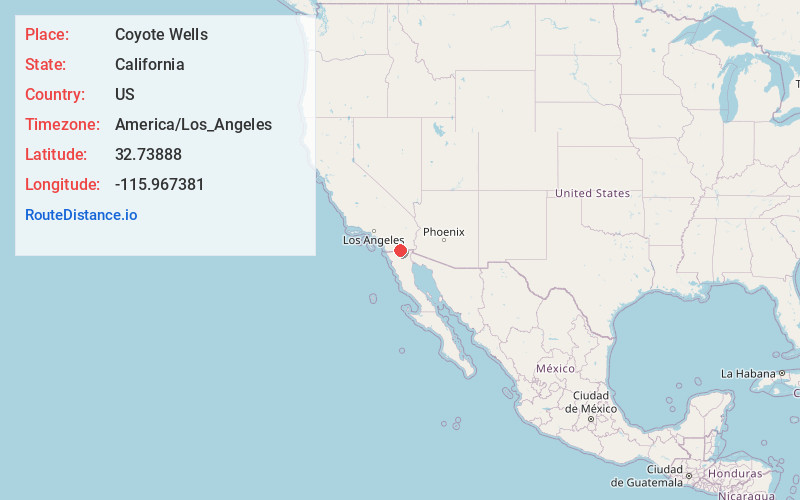
Full AddressCoyote Wells, CA 92259
-
Coordinates32.73888, -115.9673813
-
LocationCoyote Wells , California , US
-
TimezoneAmerica/Los_Angeles
-
Current Local Time8:06:31 PM America/Los_AngelesWednesday, May 28, 2025
-
Page Views0
About Coyote Wells
Coyote Wells is an unincorporated community in Imperial County, California. It is located on the San Diego and Arizona Eastern Railway 24 miles west of El Centro, at an elevation of 299 feet.
There is a petrified forest in and around Yuha wash, about 10 miles southwest of Coyote Wells.

Nearby Places
Found 10 places within 50 miles

Ocotillo
1.6 mi
2.6 km
Ocotillo, CA 92259
Get directions

Dos Cabezas
10.1 mi
16.3 km
Dos Cabezas, CA
Get directions

Mortero Palms
10.8 mi
17.4 km
Mortero Palms, CA
Get directions
Dixieland
12.0 mi
19.3 km
Dixieland, CA 92251
Get directions
Palm Grove
14.1 mi
22.7 km
Palm Grove, CA
Get directions

Jacumba Hot Springs
15.3 mi
24.6 km
Jacumba Hot Springs, CA 91934
Get directions

Seeley
16.5 mi
26.6 km
Seeley, CA
Get directions

Boulevard
18.6 mi
29.9 km
Boulevard, CA
Get directions
Mesquite Oasis
19.2 mi
30.9 km
Mesquite Oasis, CA
Get directions

Mt Signal
19.5 mi
31.4 km
Mt Signal, CA 92231
Get directions
Location Links
Local Weather
Weather Information
Coming soon!
Location Map
Static map view of Coyote Wells, California
Browse Places by Distance
Places within specific distances from Coyote Wells
Short Distances
Long Distances
Click any distance to see all places within that range from Coyote Wells. Distances shown in miles (1 mile ≈ 1.61 kilometers).