Distance to Craig County, Oklahoma

Calculating Your Route
Just a moment while we process your request...
Location Information
-
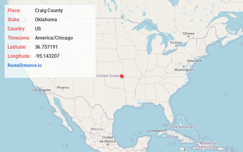
Full AddressCraig County, OK
-
Coordinates36.7571907, -95.1432068
-
LocationOklahoma , US
-
TimezoneAmerica/Chicago
-
Current Local Time11:03:28 AM America/ChicagoFriday, May 23, 2025
-
Page Views0
About Craig County
Craig County is a county in the U.S. state of Oklahoma. As of the 2020 census, the population was 14,107. Its county seat is Vinita. The county was organized in 1907, shortly before statehood, and named for Granville Craig, a prominent Cherokee farmer who lived in the Bluejacket area.


Nearby Places
Found 10 places within 50 miles

Kelso
4.0 mi
6.4 km
Kelso, OK 74301
Get directions

Bluejacket
5.0 mi
8.0 km
Bluejacket, OK 74333
Get directions
Cocklebur Flat
5.9 mi
9.5 km
Cocklebur Flat, OK 74369
Get directions
Vinita
8.2 mi
13.2 km
Vinita, OK 74301
Get directions
Cornatzar
8.4 mi
13.5 km
Cornatzar, OK 74301
Get directions

Welch
8.5 mi
13.7 km
Welch, OK 74369
Get directions
Estella
9.4 mi
15.1 km
Estella, OK 74301
Get directions

Afton
10.9 mi
17.5 km
Afton, OK 74331
Get directions
Hollow
11.4 mi
18.3 km
Hollow, OK 74369
Get directions

White Oak
11.6 mi
18.7 km
White Oak, OK 74301
Get directions
Location Links
Local Weather
Weather Information
Coming soon!
Location Map
Static map view of Craig County, Oklahoma
Browse Places by Distance
Places within specific distances from Craig County
Short Distances
Long Distances
Click any distance to see all places within that range from Craig County. Distances shown in miles (1 mile ≈ 1.61 kilometers).