Distance to Kelso, Oklahoma

Calculating Your Route
Just a moment while we process your request...
Location Information
-
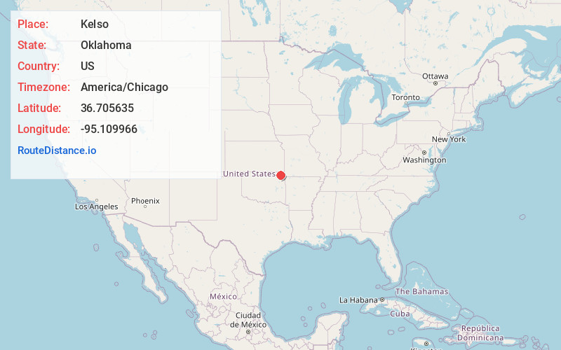
Full AddressKelso, OK 74301
-
Coordinates36.705635, -95.1099662
-
LocationOklahoma , US
-
TimezoneAmerica/Chicago
-
Current Local Time6:18:35 AM America/ChicagoSunday, June 22, 2025
-
Page Views0
Nearby Places
Found 10 places within 50 miles

Vinita
5.2 mi
8.4 km
Vinita, OK 74301
Get directions

Bluejacket
6.9 mi
11.1 km
Bluejacket, OK 74333
Get directions

Afton
8.2 mi
13.2 km
Afton, OK 74331
Get directions

White Oak
10.4 mi
16.7 km
White Oak, OK 74301
Get directions

Welch
11.6 mi
18.7 km
Welch, OK 74369
Get directions

Narcissa
12.1 mi
19.5 km
Narcissa, OK 74354
Get directions

Bernice
12.3 mi
19.8 km
Bernice, OK 74331
Get directions

Cleora
12.5 mi
20.1 km
Cleora, OK 74331
Get directions

Big Cabin
13.1 mi
21.1 km
Big Cabin, OK
Get directions

Ketchum
13.4 mi
21.6 km
Ketchum, OK
Get directions
Location Links
Local Weather
Weather Information
Coming soon!
Location Map
Static map view of Kelso, Oklahoma
Browse Places by Distance
Places within specific distances from Kelso
Short Distances
Long Distances
Click any distance to see all places within that range from Kelso. Distances shown in miles (1 mile ≈ 1.61 kilometers).