Distance to Crandall, Georgia

Calculating Your Route
Just a moment while we process your request...
Location Information
-
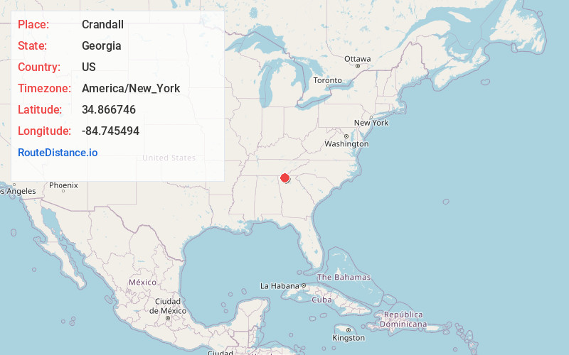
Full AddressCrandall, GA 30711
-
Coordinates34.8667459, -84.7454939
-
LocationCrandall , Georgia , US
-
TimezoneAmerica/New_York
-
Current Local Time1:19:58 PM America/New_YorkSunday, June 8, 2025
-
Page Views0
About Crandall
Crandall is an unincorporated community in Murray County, Georgia, United States. The community is located along the concurrent U.S. Route 411, Georgia State Route 2, and Georgia State Route 61, 7 miles north of Chatsworth. Crandall has a post office with ZIP code 30711.


Nearby Places
Found 10 places within 50 miles

Eton
3.1 mi
5.0 km
Eton, GA 30705
Get directions

Temple Grove
4.5 mi
7.2 km
Temple Grove, GA 30711
Get directions

Cisco
5.9 mi
9.5 km
Cisco, GA 30708
Get directions

Chatsworth
7.1 mi
11.4 km
Chatsworth, GA 30705
Get directions
Toonnerville
8.1 mi
13.0 km
Toonnerville, GA 30721
Get directions
Doogan
8.6 mi
13.8 km
Doogan, GA 30708
Get directions

Conasauga
9.6 mi
15.4 km
Conasauga, TN 37362
Get directions
Plainview
11.3 mi
18.2 km
Plainview, GA 30721
Get directions
Pleasant Grove
11.4 mi
18.3 km
Pleasant Grove, GA 30721
Get directions
Felker
11.7 mi
18.8 km
Felker, TN 37323
Get directions
Location Links
Local Weather
Weather Information
Coming soon!
Location Map
Static map view of Crandall, Georgia
Browse Places by Distance
Places within specific distances from Crandall
Short Distances
Long Distances
Click any distance to see all places within that range from Crandall. Distances shown in miles (1 mile ≈ 1.61 kilometers).