Distance to Cream Ridge, Missouri

Calculating Your Route
Just a moment while we process your request...
Location Information
-
Full AddressCream Ridge, Chillicothe Township, MO 64601
-
Coordinates39.7852966, -93.4627122
-
LocationChillicothe Township , Missouri , US
-
TimezoneAmerica/Chicago
-
Current Local Time9:40:43 PM America/ChicagoTuesday, June 3, 2025
-
Page Views0
Nearby Places
Found 10 places within 50 miles

Wheeling
4.1 mi
6.6 km
Wheeling, MO 64688
Get directions

Livingston County
4.7 mi
7.6 km
Livingston County, MO
Get directions

Chillicothe
4.8 mi
7.7 km
Chillicothe, MO 64601
Get directions
Sturges
6.6 mi
10.6 km
Sturges, MO 64601
Get directions
Bedford
7.8 mi
12.6 km
Bedford, Grand River Township, MO 64643
Get directions
Meadville
8.5 mi
13.7 km
Meadville, MO 64659
Get directions
Avalon
8.8 mi
14.2 km
Avalon, MO
Get directions
Utica
9.2 mi
14.8 km
Utica, MO
Get directions
Fountain Grove
9.3 mi
15.0 km
Fountain Grove, Parson Creek Township, MO 64659
Get directions
Chula
9.4 mi
15.1 km
Chula, MO 64635
Get directions
Location Links
Local Weather
Weather Information
Coming soon!
Location Map
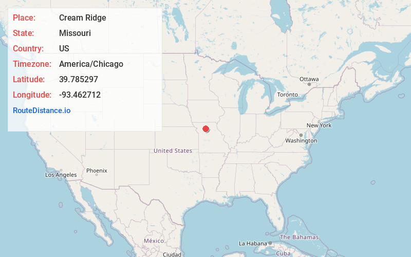
Static map view of Cream Ridge, Missouri
Browse Places by Distance
Places within specific distances from Cream Ridge
Short Distances
Long Distances
Click any distance to see all places within that range from Cream Ridge. Distances shown in miles (1 mile ≈ 1.61 kilometers).