Distance to Creek Area, New Hampshire

Calculating Your Route
Just a moment while we process your request...
Location Information
-
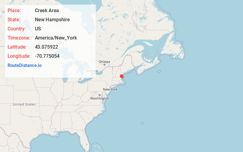
Full AddressCreek Area, Portsmouth, NH 03801
-
Coordinates43.0759216, -70.7750537
-
LocationPortsmouth , New Hampshire , US
-
TimezoneAmerica/New_York
-
Current Local Time10:00:53 AM America/New_YorkWednesday, June 18, 2025
-
Page Views0

Nearby Places
Found 10 places within 50 miles

Portsmouth
1.1 mi
1.8 km
Portsmouth, NH 03801
Get directions

Kittery
1.5 mi
2.4 km
Kittery, ME
Get directions

New Castle
3.0 mi
4.8 km
New Castle, NH
Get directions

Newington
3.3 mi
5.3 km
Newington, NH 03801
Get directions

Greenland
4.0 mi
6.4 km
Greenland, NH
Get directions

Bedell Crossing
5.4 mi
8.7 km
Bedell Crossing, Kittery, ME 03905
Get directions

Eliot
5.5 mi
8.9 km
Eliot, ME 03903
Get directions
Cutts Island
5.7 mi
9.2 km
Cutts Island, Kittery, ME 03905
Get directions
Cable Rd
5.9 mi
9.5 km
Cable Rd, Rye, NH 03870
Get directions

Rye
6.0 mi
9.7 km
Rye, NH
Get directions
Location Links
Local Weather
Weather Information
Coming soon!
Location Map
Static map view of Creek Area, New Hampshire
Browse Places by Distance
Places within specific distances from Creek Area
Short Distances
Long Distances
Click any distance to see all places within that range from Creek Area. Distances shown in miles (1 mile ≈ 1.61 kilometers).