Distance to Eliot, Maine

Calculating Your Route
Just a moment while we process your request...
Location Information
-
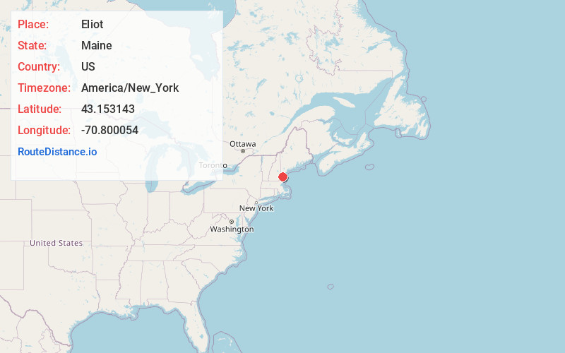
Full AddressEliot, ME 03903
-
Coordinates43.1531427, -70.8000544
-
LocationEliot , Maine , US
-
TimezoneAmerica/New_York
-
Current Local Time11:21:12 PM America/New_YorkThursday, June 19, 2025
-
Page Views0
About Eliot
Eliot is a town in York County, Maine, United States. Originally settled in 1623, it was formerly a part of Kittery, to its east. After Kittery, it is the next most southern town in the state of Maine, lying on the Piscataqua River across from Portsmouth and Newington, New Hampshire.


Nearby Places
Found 10 places within 50 miles

Dover
4.8 mi
7.7 km
Dover, NH 03820
Get directions

Kittery
5.2 mi
8.4 km
Kittery, ME
Get directions

South Berwick
5.6 mi
9.0 km
South Berwick, ME 03908
Get directions

Portsmouth
6.2 mi
10.0 km
Portsmouth, NH 03801
Get directions

Durham
6.5 mi
10.5 km
Durham, NH
Get directions

York
7.7 mi
12.4 km
York, ME
Get directions

Somersworth
8.2 mi
13.2 km
Somersworth, NH
Get directions

Berwick
8.6 mi
13.8 km
Berwick, ME 03901
Get directions

Stratham
10.7 mi
17.2 km
Stratham, NH
Get directions

Rochester
13.7 mi
22.0 km
Rochester, NH
Get directions
Location Links
Local Weather
Weather Information
Coming soon!
Location Map
Static map view of Eliot, Maine
Browse Places by Distance
Places within specific distances from Eliot
Short Distances
Long Distances
Click any distance to see all places within that range from Eliot. Distances shown in miles (1 mile ≈ 1.61 kilometers).