Distance to Crenshaw, Pennsylvania

Calculating Your Route
Just a moment while we process your request...
Location Information
-
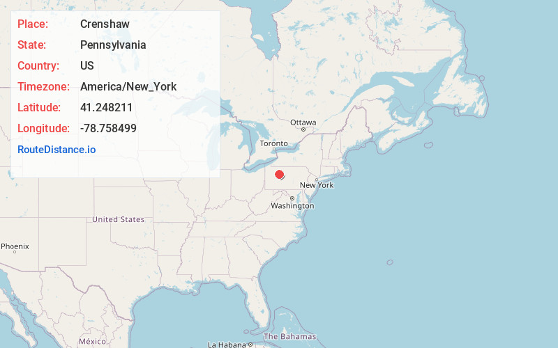
Full AddressCrenshaw, PA
-
Coordinates41.248211, -78.758499
-
LocationCrenshaw , Pennsylvania , US
-
TimezoneAmerica/New_York
-
Current Local Time5:19:47 PM America/New_YorkWednesday, June 18, 2025
-
Page Views0
About Crenshaw
Crenshaw is an unincorporated community and census-designated place in Snyder Township, Jefferson County in the U.S. state of Pennsylvania. It is approximately 2 miles east of the borough of Brockway on U.S. Route 219. As of the 2010 census, the population was 468 residents.


Nearby Places
Found 10 places within 50 miles

Brockway
2.1 mi
3.4 km
Brockway, PA 15824
Get directions

Horton Township
4.3 mi
6.9 km
Horton Township, PA
Get directions

Treasure Lake
5.6 mi
9.0 km
Treasure Lake, PA
Get directions

Falls Creek
7.5 mi
12.1 km
Falls Creek, PA 15840
Get directions

Toby
8.6 mi
13.8 km
Toby, Fox Township, PA 15846
Get directions

DuBois
8.8 mi
14.2 km
DuBois, PA 15801
Get directions
Sandy
9.7 mi
15.6 km
Sandy, PA 15801
Get directions

Kersey
11.5 mi
18.5 km
Kersey, PA 15846
Get directions

Ridgway
12.0 mi
19.3 km
Ridgway, PA 15853
Get directions

Reynoldsville
12.4 mi
20.0 km
Reynoldsville, PA 15851
Get directions
Location Links
Local Weather
Weather Information
Coming soon!
Location Map
Static map view of Crenshaw, Pennsylvania
Browse Places by Distance
Places within specific distances from Crenshaw
Short Distances
Long Distances
Click any distance to see all places within that range from Crenshaw. Distances shown in miles (1 mile ≈ 1.61 kilometers).