Distance to Crisp, North Carolina

Calculating Your Route
Just a moment while we process your request...
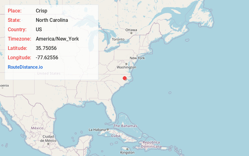
Location Information
-
Full AddressCrisp, NC 27852
-
Coordinates35.75056, -77.6255599
-
LocationCrisp , North Carolina , US
-
TimezoneAmerica/New_York
-
Current Local Time2:27:50 PM America/New_YorkThursday, May 22, 2025
-
Page Views0
About Crisp
Crisp is an unincorporated community in Edgecombe County in eastern North Carolina, United States. It is located at the intersection of U.S. Route 258 and North Carolina Highway 124, approximately 11 miles south of Tarboro.
Nearby Places
Found 10 places within 50 miles

Macclesfield
2.5 mi
4.0 km
Macclesfield, NC
Get directions

Pinetops
2.7 mi
4.3 km
Pinetops, NC 27864
Get directions
Fountain
5.3 mi
8.5 km
Fountain, NC
Get directions
Falkland
7.2 mi
11.6 km
Falkland, NC
Get directions

Belvoir
9.5 mi
15.3 km
Belvoir, NC 27834
Get directions

Conetoe
10.5 mi
16.9 km
Conetoe, NC
Get directions
Saratoga
10.7 mi
17.2 km
Saratoga, NC
Get directions

Farmville
11.0 mi
17.7 km
Farmville, NC 27828
Get directions
Princeville
11.0 mi
17.7 km
Princeville, NC 27886
Get directions

Tarboro
11.3 mi
18.2 km
Tarboro, NC 27886
Get directions
Location Links
Local Weather
Weather Information
Coming soon!
Location Map
Static map view of Crisp, North Carolina
Browse Places by Distance
Places within specific distances from Crisp
Short Distances
Long Distances
Click any distance to see all places within that range from Crisp. Distances shown in miles (1 mile ≈ 1.61 kilometers).