Distance to Crofton, Kentucky

Calculating Your Route
Just a moment while we process your request...
Location Information
-
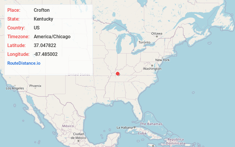
Full AddressCrofton, KY 42217
-
Coordinates37.0478218, -87.4850022
-
LocationCrofton , Kentucky , US
-
TimezoneAmerica/Chicago
-
Current Local Time6:38:51 AM America/ChicagoSunday, June 15, 2025
-
Page Views0
About Crofton
Crofton is a home rule-class city in Christian County, Kentucky, in the United States. The population was 653 as of the 2020 census, down from 749 at the 2010 census.
Crofton is part of the Clarksville, TN–KY Metropolitan Statistical Area.

Nearby Places
Found 10 places within 50 miles

Nortonville
9.8 mi
15.8 km
Nortonville, KY 42442
Get directions

White Plains
10.9 mi
17.5 km
White Plains, KY 42464
Get directions

Hopkinsville
12.6 mi
20.3 km
Hopkinsville, KY
Get directions

Mortons Gap
13.1 mi
21.1 km
Mortons Gap, KY
Get directions

Dawson Springs
14.1 mi
22.7 km
Dawson Springs, KY 42408
Get directions

Earlington
15.7 mi
25.3 km
Earlington, KY
Get directions

Madisonville
19.4 mi
31.2 km
Madisonville, KY 42431
Get directions

Greenville
19.9 mi
32.0 km
Greenville, KY
Get directions

Pembroke
20.0 mi
32.2 km
Pembroke, KY 42266
Get directions

Powderly
22.2 mi
35.7 km
Powderly, KY
Get directions
Location Links
Local Weather
Weather Information
Coming soon!
Location Map
Static map view of Crofton, Kentucky
Browse Places by Distance
Places within specific distances from Crofton
Short Distances
Long Distances
Click any distance to see all places within that range from Crofton. Distances shown in miles (1 mile ≈ 1.61 kilometers).