Distance to Cromwell, Minnesota

Calculating Your Route
Just a moment while we process your request...
Location Information
-
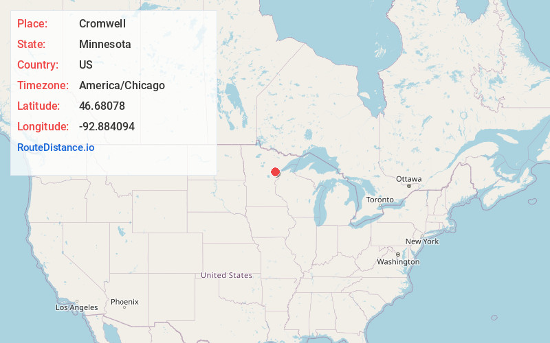
Full AddressCromwell, MN
-
Coordinates46.6807803, -92.8840939
-
LocationCromwell , Minnesota , US
-
TimezoneAmerica/Chicago
-
Current Local Time5:53:55 AM America/ChicagoSaturday, June 21, 2025
-
Page Views0
About Cromwell
Cromwell is a city in Carlton County, Minnesota, United States. The population was 240 at the 2020 census.
Cromwell is located along Minnesota State Highways 73 and 210.
Nearby Places
Found 10 places within 50 miles

Mahtowa
14.1 mi
22.7 km
Mahtowa, MN
Get directions

Barnum
15.4 mi
24.8 km
Barnum, MN 55707
Get directions

Moose Lake
16.8 mi
27.0 km
Moose Lake, MN 55767
Get directions

Floodwood
17.2 mi
27.7 km
Floodwood, MN 55736
Get directions

Cloquet
20.2 mi
32.5 km
Cloquet, MN 55720
Get directions

McGregor
20.8 mi
33.5 km
McGregor, MN 55760
Get directions

Sturgeon Lake
20.9 mi
33.6 km
Sturgeon Lake, MN 55783
Get directions

Scanlon
21.7 mi
34.9 km
Scanlon, MN
Get directions

Carlton
21.8 mi
35.1 km
Carlton, MN
Get directions

Esko
24.8 mi
39.9 km
Esko, MN 55733
Get directions
Location Links
Local Weather
Weather Information
Coming soon!
Location Map
Static map view of Cromwell, Minnesota
Browse Places by Distance
Places within specific distances from Cromwell
Short Distances
Long Distances
Click any distance to see all places within that range from Cromwell. Distances shown in miles (1 mile ≈ 1.61 kilometers).