Distance to Crosland, Georgia

Calculating Your Route
Just a moment while we process your request...
Location Information
-
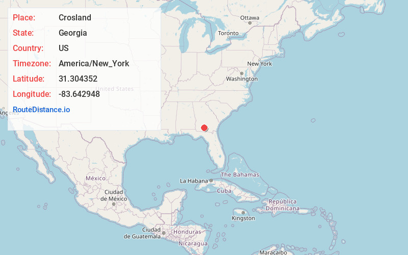
Full AddressCrosland, GA 31771
-
Coordinates31.3043518, -83.6429479
-
LocationGeorgia , US
-
TimezoneAmerica/New_York
-
Current Local Time11:06:07 PM America/New_YorkWednesday, June 18, 2025
-
Page Views0
Nearby Places
Found 10 places within 50 miles

Norman Park
3.6 mi
5.8 km
Norman Park, GA 31771
Get directions

Omega
3.7 mi
6.0 km
Omega, GA 31775
Get directions

Scooterville
6.0 mi
9.7 km
Scooterville, GA 31789
Get directions
Barbers
7.3 mi
11.7 km
Barbers, GA 31771
Get directions
Pineboro
8.9 mi
14.3 km
Pineboro, GA 31771
Get directions

Ellenton
9.5 mi
15.3 km
Ellenton, GA 31771
Get directions
Flat Ford
10.0 mi
16.1 km
Flat Ford, GA 31647
Get directions
New Elm
10.4 mi
16.7 km
New Elm, GA 31744
Get directions
Staunton
10.5 mi
16.9 km
Staunton, GA 31637
Get directions

Lenox
10.8 mi
17.4 km
Lenox, GA 31637
Get directions
Location Links
Local Weather
Weather Information
Coming soon!
Location Map
Static map view of Crosland, Georgia
Browse Places by Distance
Places within specific distances from Crosland
Short Distances
Long Distances
Click any distance to see all places within that range from Crosland. Distances shown in miles (1 mile ≈ 1.61 kilometers).