Distance to Cross Lanes, West Virginia

Calculating Your Route
Just a moment while we process your request...
Location Information
-
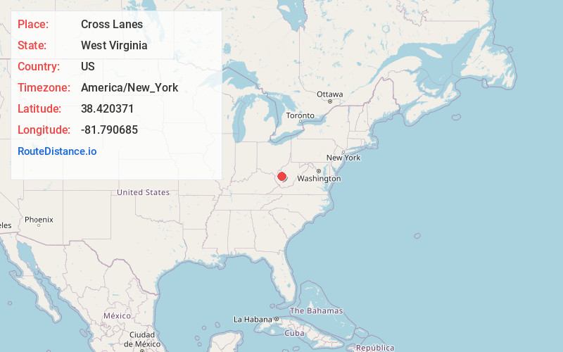
Full AddressCross Lanes, WV
-
Coordinates38.4203709, -81.7906847
-
LocationCross Lanes , West Virginia , US
-
TimezoneAmerica/New_York
-
Current Local Time4:19:57 PM America/New_YorkWednesday, June 18, 2025
-
Page Views0
About Cross Lanes
Cross Lanes is a census-designated place and suburb of Charleston in Kanawha County, West Virginia, United States. As of the 2010 census, its population was 9,995.
An EF2 tornado struck and heavily damaged the north side of town on April 2, 2024.


Nearby Places
Found 7 places within 50 miles

St Albans
3.2 mi
5.1 km
St Albans, WV 25177
Get directions

South Charleston
6.1 mi
9.8 km
South Charleston, WV
Get directions

Teays Valley
7.8 mi
12.6 km
Teays Valley, WV
Get directions

Charleston
9.9 mi
15.9 km
Charleston, WV
Get directions

Huntington
35.4 mi
57.0 km
Huntington, WV
Get directions

Ashland
46.0 mi
74.0 km
Ashland, KY
Get directions

Ironton
48.9 mi
78.7 km
Ironton, OH 45638
Get directions
Location Links
Local Weather
Weather Information
Coming soon!
Location Map
Static map view of Cross Lanes, West Virginia
Browse Places by Distance
Places within specific distances from Cross Lanes
Short Distances
Long Distances
Click any distance to see all places within that range from Cross Lanes. Distances shown in miles (1 mile ≈ 1.61 kilometers).