Distance to Crowley, Oregon

Calculating Your Route
Just a moment while we process your request...
Location Information
-
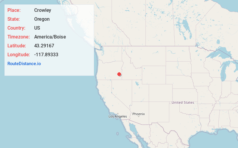
Full AddressCrowley, OR 97906
-
Coordinates43.29167, -117.89333
-
LocationCrowley , Oregon , US
-
TimezoneAmerica/Boise
-
Current Local Time12:45:46 PM America/BoiseTuesday, June 24, 2025
-
Page Views0
About Crowley
Crowley is an unincorporated community in Malheur County, Oregon, United States. It lies along Crowley Road, north of Oregon Route 78, about 50 miles east of Crane. Crowley Ranch and Crowley Ranch Airstrip are nearby.
Crowley Creek was named for Green Berry Crowley who settled on its banks with his son James in 1874.

Nearby Places
Found 7 places within 50 miles

Riverside
21.8 mi
35.1 km
Riverside, OR 97917
Get directions

Juntura
32.7 mi
52.6 km
Juntura, OR 97911
Get directions

Crane
35.5 mi
57.1 km
Crane, OR
Get directions

Harper
42.0 mi
67.6 km
Harper, OR 97906
Get directions

Sheaville
43.9 mi
70.7 km
Sheaville, OR 97910
Get directions

Jordan Valley
47.7 mi
76.8 km
Jordan Valley, OR 97910
Get directions

Westfall
49.2 mi
79.2 km
Westfall, OR 97920
Get directions
Location Links
Local Weather
Weather Information
Coming soon!
Location Map
Static map view of Crowley, Oregon
Browse Places by Distance
Places within specific distances from Crowley
Short Distances
Long Distances
Click any distance to see all places within that range from Crowley. Distances shown in miles (1 mile ≈ 1.61 kilometers).