Distance to Crystal, Minnesota
Location Information
-
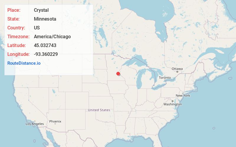
Full AddressCrystal, MN
-
Coordinates45.0327425, -93.3602286
-
LocationCrystal , Minnesota , US
-
TimezoneAmerica/Chicago
-
Current Local Time7:10:24 AM America/ChicagoFriday, May 16, 2025
-
Website
-
Page Views0
About Crystal
Crystal is a suburban city in Hennepin County, Minnesota, United States that is about 5 miles from Downtown Minneapolis. The population was 23,330 at the 2020 census. Minnesota State Highway 100 and County Road 81 are two of the main routes in the city.


Nearby Places
Found 10 places within 50 miles

Brooklyn Center
3.3 mi
5.3 km
Brooklyn Center, MN
Get directions

Brooklyn Park
4.2 mi
6.8 km
Brooklyn Park, MN
Get directions

Plymouth
4.9 mi
7.9 km
Plymouth, MN
Get directions

Maple Grove
5.4 mi
8.7 km
Maple Grove, MN
Get directions

Fridley
6.0 mi
9.7 km
Fridley, MN
Get directions

Minneapolis
6.0 mi
9.7 km
Minneapolis, MN
Get directions

New Brighton
8.1 mi
13.0 km
New Brighton, MN 55112
Get directions

Minnetonka
8.4 mi
13.5 km
Minnetonka, MN
Get directions

Edina
9.9 mi
15.9 km
Edina, MN
Get directions

Coon Rapids
10.1 mi
16.3 km
Coon Rapids, MN
Get directions
Location Links
Local Weather
Weather Information
Coming soon!
Location Map
Static map view of Crystal, Minnesota
Browse Places by Distance
Places within specific distances from Crystal
Short Distances
Long Distances
Click any distance to see all places within that range from Crystal. Distances shown in miles (1 mile ≈ 1.61 kilometers).